


11 km | 13,7 km-effort


Gebruiker


Gratisgps-wandelapplicatie
 SityTrail
IGN / Geografische instituten
SityTrail World
De wereld gaat voor u open
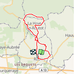
Tocht Stappen van 12,5 km beschikbaar op Normandië, Eure, Routot. Deze tocht wordt voorgesteld door tracegps.
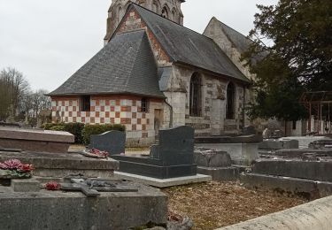
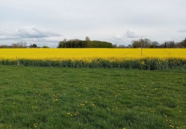
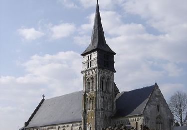
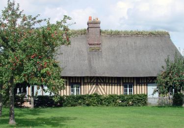
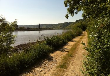
Circuit proposé par le pays du Roumois. Départ : place de l’hôtel de ville de Routot. Le circuit de Routot est situé dans le Parc Naturel Régional des Boucles de la Seine Normande. Il sillonne un paysage principalement bocager. Les vergers laissent la place aux prairies où paissent de calmes troupeaux. Les villages de Routot et de La Haye de Routot sont des occasions de halte pour visiter les écomusées qui retracent l’histoire de savoir-faire de la vie locale : la Maison du Lin, Le Four à Pain, le Musée du Sabotier. Retrouvez ici le circuit sur le site du Pays Roumois.


Stappen
Stappen
Stappen
Stappen
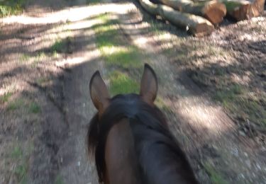
Paardrijden
Stappen
Stappen
Stappen