


22 km | 33 km-effort

Gebruiker


Gratisgps-wandelapplicatie
 SityTrail
IGN / Geografische instituten
SityTrail World
De wereld gaat voor u open
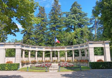
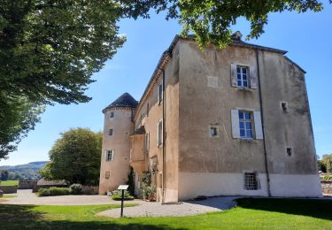
Tocht Stappen van 82 km beschikbaar op Bourgondië-Franche-Comté, Jura, Montaigu. Deze tocht wordt voorgesteld door tracegps.
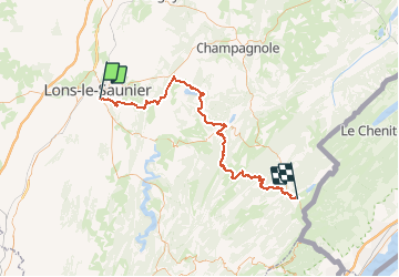
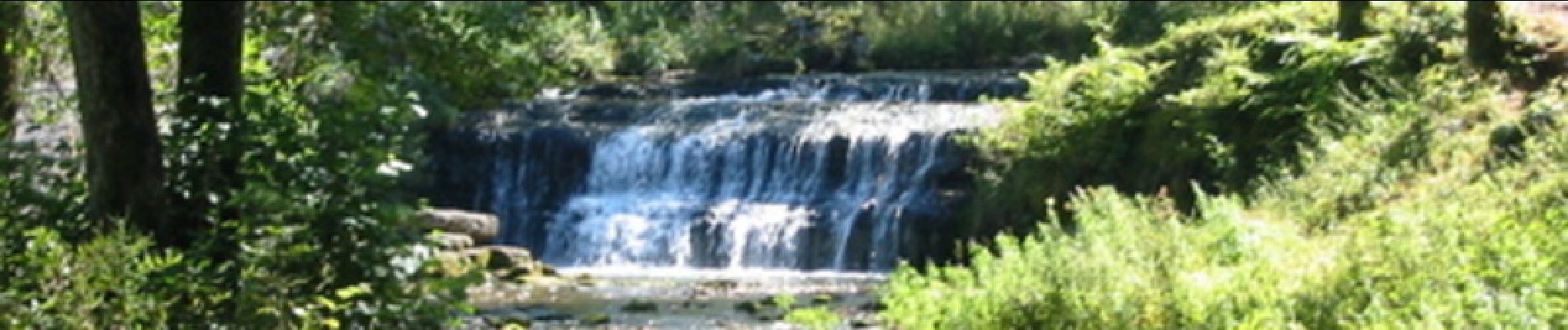
Le Jura d’Ouest en Est sur le GR 559®. Le GR559® de 95km permet de traverser plusieurs zones touristiques du département du Jura d’Ouest en Est. Du bas Jura (Lons Le Saunier) au haut Jura (Les Rousses) en passant par la région des lacs et les cascades du Hérisson.


Stappen
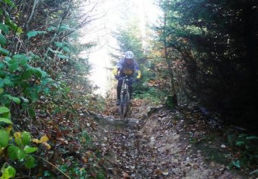
Mountainbike
Stappen
Stappen
Stappen
Hybride fiets
Stappen
Stappen
Stappen