


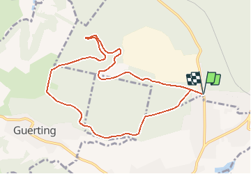

8,7 km | 10,4 km-effort

Gebruiker


Gratisgps-wandelapplicatie
 SityTrail
IGN / Geografische instituten
SityTrail World
De wereld gaat voor u open
Tocht Stappen van 9,2 km beschikbaar op Grand Est, Moselle, Creutzwald. Deze tocht wordt voorgesteld door tracegps.
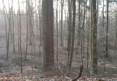
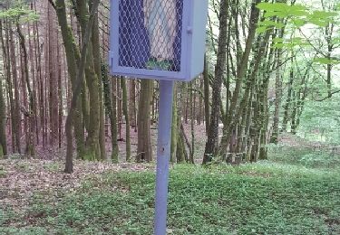
Circuit proposé par le Rando Club de Creutzwald et le Syndicat d’Initiative de Creutzwald. Départ au bord de la forêt, le long de la D23a, au sud Ouest de Creutzwald, rue de guerting. Retrouvez le plan et le descriptif sur le site du Syndicat d’Initiative de Creutzwald. Ce circuit a été numérisé par les randonneurs du CODEPEM . Merci à Jean-Marie.


Stappen
Te voet
Te voet
Stappen

Paardrijden
Te voet

Stappen
Stappen
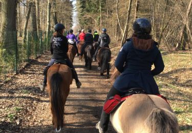
Paardrijden
super