


11,7 km | 14,2 km-effort

Gebruiker


Gratisgps-wandelapplicatie
 SityTrail
IGN / Geografische instituten
SityTrail World
De wereld gaat voor u open
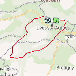
Tocht Mountainbike van 7,2 km beschikbaar op Normandië, Eure, Livet-sur-Authou. Deze tocht wordt voorgesteld door tracegps.
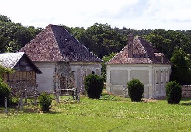
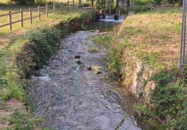
Circuit proposé par l’Office de Tourisme de Brionne. Départ de la mairie de Livet-sur-Authou. A voir sur le chemin : Le château du XIXe et son parc. L’église Notre-Dame et sin if de 1936. Le Bois de la Houssaye. Les trois moulins et les deux lavoirs sur le « Torrent » ainsi que les sources et le très beau panorama sur la vallée classée de Livet. Le dépliant reprenant l’ensemble des circuits est à votre disposition à l’office du Tourisme de Brionne. Ce circuit a été numérisé par les randonneurs du CODEPEM. Merci à Jean-Marie.


Stappen
Stappen

Stappen
Stappen
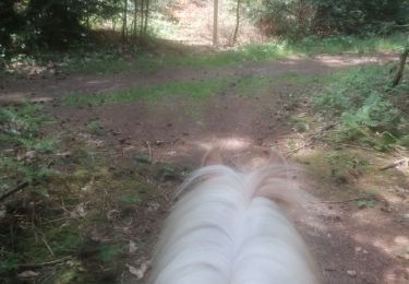
Paardrijden
Paardrijden
Stappen

Paard