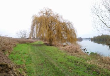
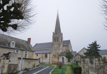
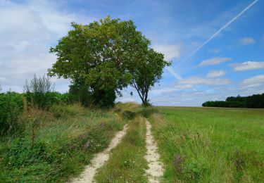
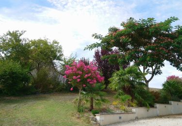
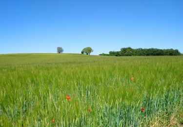
Tocht Stappen Avon-les-Roches - Avon-les-Roches - Photo
 tracegps
tracegps

Gebruiker

© OpenStreetMap contributors
Lengte
Lengte
13,4 km
Max. hoogte
Max. hoogte
119 m
Positief hoogteverschil
171 m
Km-Effort
Km-Effort  
15,6 km
Min. hoogte
Min. hoogte
54 m
Negatief hoogteverschil
175 m
Boucle
Boucle
Ja
Datum van aanmaak :
2014-12-10 00:00:00.0
Laatste wijziging :
2014-12-10 00:00:00.0

(0 Bericht)

Stappen
Stappen
3h19
Moeilijkheid : Moeilijk

Scan deze QR-code om de tocht te openen in de SityTrail-applicatie

Gratisgps-wandelapplicatie

Logo SityTrail SityTrail

IGN / Geografische instituten

SityTrail uit de App Store downloaden SityTrail uit Google Play downloaden

Logo SityTrail SityTrail World

De wereld gaat voor u open

SityTrail uit de App Store downloaden SityTrail uit Google Play downloaden SityTrail op Huawei AppGallery downloaden

Over ons

Tocht Stappen van 13,4 km beschikbaar op Centre-Val de Loire, Indre-et-Loire, Avon-les-Roches. Deze tocht wordt voorgesteld door tracegps.

Beschrijving

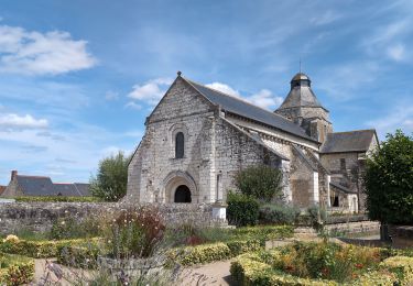
Circuit proposé par la Communauté de Communes du Bouchardais et le comité départemental d’Indre et Loire. Célèbre pour ses 11 lavoirs bordés de ruisseaux, ce village présente bien d’autres attraits à découvrir le long de ses sentiers. Départ place de la mairie d’Avon-les-Roches. Retrouvez le descriptif et la carte sur le site du comité départemental d’Indre et Loire. Ce circuit a été numérisé par les randonneurs du CODEPEM. Merci à Jean-Marie.

Hoogteprofiel

Foto's

Plaatsbepaling

Land:
France
Regio :
Centre-Val de Loire
Departement/Provincie :
Indre-et-Loire
Gemeente :
Avon-les-Roches
Locatie:
Unknown
Vertrek:(Dec)
Vertrek:(UTM)
306615 ; 5225757 (31T) N.

Wandeltochten in de omgeving

Tocht Mountainbike Neuil - De Neuil à Avon les Roches - Photo
Mountainbike
tracegps

Mountainbike

Moeilijk
(1)
Neuil, Centre-Val de Loire, Indre-et-Loire, France
32 km | 38 km-effort
2h 0min
Ja
Tocht Stappen Tavant - Tavant - Sazilly PM - 11.6km 105m 2h25 - 2024 08 07 - Photo
Stappen
GUIDE
Orcal37

Stappen

Gemakkelijk
Tavant, Centre-Val de Loire, Indre-et-Loire, France
11,6 km | 13 km-effort
2h 25min
Ja
Tocht Stappen Panzoult - Panzoult - Zig zag Bois de Juche-Pie - 14.8km 270m 3h15 (50mn) - 2024 07 31 - Photo
Stappen
GUIDE
Orcal37

Stappen

Medium
Panzoult, Centre-Val de Loire, Indre-et-Loire, France
14,9 km | 18,5 km-effort
3h 15min
Ja
Tocht Stappen L'Île-Bouchard - l'île-Bouchard - Brizay Theneuil Parçay-sur-Vienne - 24km 300m 5h10 (1h05) - 2024 07 24 - Photo
Stappen
GUIDE
Orcal37

Stappen

Gemakkelijk
L'Île-Bouchard, Centre-Val de Loire, Indre-et-Loire, France
24 km | 28 km-effort
5h 10min
Ja
Tocht Stappen Crouzilles - Crouzilles - St-Gilles GR48 Mougon Trogues Beauvais - 22km 175m 4h45 - 2022 01 22 - Photo
Stappen
GUIDE
Orcal37

Stappen

Gemakkelijk
Crouzilles, Centre-Val de Loire, Indre-et-Loire, France
22 km | 24 km-effort
4h 45min
Ja
Tocht Stappen Panzoult - Panzoult - GR48 PR Avon-les-Roches St-Gilles - 21.5km 265m 4h30 - 2022 01 15 - Photo
Stappen
GUIDE
Orcal37

Stappen

Gemakkelijk
Panzoult, Centre-Val de Loire, Indre-et-Loire, France
21 km | 25 km-effort
4h 30min
Ja
Tocht Stappen Crissay-sur-Manse - Crissay-sur-Manse - Neuil Avon-les-Roches - 24.9km 370m 5h20 (30mn) - 2021 07 11 - Photo
Stappen
GUIDE
Orcal37

Stappen

Gemakkelijk
Crissay-sur-Manse, Centre-Val de Loire, Indre-et-Loire, France
25 km | 30 km-effort
5h 20min
Ja
Tocht Stappen Neuil - Neuil - Circuit 2 - 12.6km 120m 2h20 - 2019 08 16 - Photo
Stappen
GUIDE
Orcal37

Stappen

Gemakkelijk
Neuil, Centre-Val de Loire, Indre-et-Loire, France
12,6 km | 14,2 km-effort
2h 20min
Ja
Tocht Stappen Avon-les-Roches - Avon-les-Roches - Au pays des lavoirs - circuit court - 10.9km 130m 2h35 - 2019 06 01 - Photo
Stappen
GUIDE
Orcal37

Stappen

Heel gemakkelijk
Avon-les-Roches, Centre-Val de Loire, Indre-et-Loire, France
10,9 km | 12,7 km-effort
2h 35min
Ja


Sluiten
Mijn abonnementen