


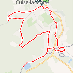

14,8 km | 17,7 km-effort

Gebruiker


Gratisgps-wandelapplicatie
 SityTrail
IGN / Geografische instituten
SityTrail World
De wereld gaat voor u open
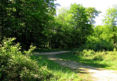
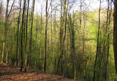
Tocht Stappen van 6,4 km beschikbaar op Hauts-de-France, Oise, Cuise-la-Motte. Deze tocht wordt voorgesteld door tracegps.
Circuit proposé par l'Office de Tourisme de Pierrefonds. Départ de la place de la mairie de Cuise-la-Motte. Retrouvez ce circuit sur le site de l’Office de Tourisme de Pierrefonds. Ce circuit a été numérisé par les randonneurs du CODEPEM. Merci à Jean-Marie.


Stappen

Te voet

Stappen
Stappen

Te voet
Stappen
Stappen
Stappen
Stappen