

Les Hameaux d'Aix-en-Othe

tracegps
Gebruiker

Lengte
23 km

Max. hoogte
243 m

Positief hoogteverschil
341 m

Km-Effort
28 km

Min. hoogte
128 m

Negatief hoogteverschil
341 m
Boucle
Ja
Datum van aanmaak :
2014-12-10 00:00:00.0
Laatste wijziging :
2014-12-10 00:00:00.0
6h00
Moeilijkheid : Zeer moeilijk

Gratisgps-wandelapplicatie
Over ons
Tocht Stappen van 23 km beschikbaar op Grand Est, Aube, Aix-Villemaur-Pâlis. Deze tocht wordt voorgesteld door tracegps.
Beschrijving
Circuit proposé par l’Office de Tourisme du Pays d’Othe. Départ de la place Thuillier à Aix-en-Othe. Retrouvez ce circuit sur le site de l’Office du Tourisme.
Plaatsbepaling
Land:
France
Regio :
Grand Est
Departement/Provincie :
Aube
Gemeente :
Aix-Villemaur-Pâlis
Locatie:
Aix-en-Othe
Vertrek:(Dec)
Vertrek:(UTM)
554356 ; 5341313 (31U) N.
Opmerkingen
Wandeltochten in de omgeving

Aix en Othe-Vaujurennes


Te voet
Medium
(1)
Aix-Villemaur-Pâlis,
Grand Est,
Aube,
France

11 km | 13,7 km-effort
2h 30min
Ja
Bois des Brosses


Stappen
Gemakkelijk
Aix-Villemaur-Pâlis,
Grand Est,
Aube,
France

7,7 km | 8,9 km-effort
2h 5min
Ja
Villemaur sur Vanne


Stappen
Heel gemakkelijk
Aix-Villemaur-Pâlis,
Grand Est,
Aube,
France

9,8 km | 11,7 km-effort
2h 37min
Ja
La Vove - Aix en Othe


Stappen
Medium
(1)
Aix-Villemaur-Pâlis,
Grand Est,
Aube,
France

10,2 km | 12,3 km-effort
2h 30min
Ja
La Vove - Bois de la Brosse


Stappen
Gemakkelijk
Aix-Villemaur-Pâlis,
Grand Est,
Aube,
France

9,8 km | 11,9 km-effort
3h 0min
Ja
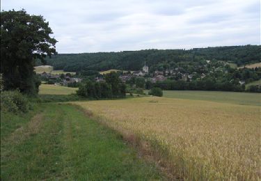
Vaujurennes - Bérulle (Boucle) 2011


Stappen
Gemakkelijk
Paisy-Cosdon,
Grand Est,
Aube,
France

12,9 km | 15,2 km-effort
4h 0min
Ja

Circuit de Villemoiron en Othe


Fiets
Gemakkelijk
Villemoiron-en-Othe,
Grand Est,
Aube,
France

33 km | 39 km-effort
1h 45min
Ja
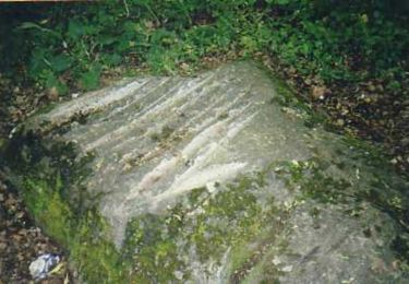
Le circuit de St Flavy - Villemaur sur vanne


Stappen
Medium
Aix-Villemaur-Pâlis,
Grand Est,
Aube,
France

9,3 km | 12 km-effort
2h 19min
Ja
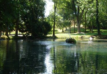
Les Hameaux d'Aix en Othe (17 km)


Stappen
Moeilijk
Aix-Villemaur-Pâlis,
Grand Est,
Aube,
France

17,4 km | 20 km-effort
4h 0min
Ja


 SityTrail


ballades a palis