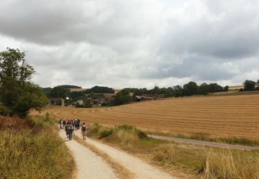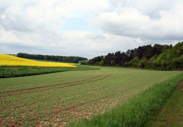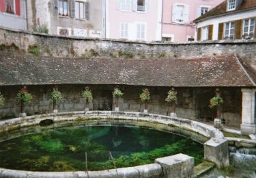

Circuit des 5 Vallées - Etourvy

tracegps
Gebruiker

Lengte
15,5 km

Max. hoogte
304 m

Positief hoogteverschil
321 m

Km-Effort
19,8 km

Min. hoogte
202 m

Negatief hoogteverschil
321 m
Boucle
Ja
Datum van aanmaak :
2014-12-10 00:00:00.0
Laatste wijziging :
2014-12-10 00:00:00.0
4h00
Moeilijkheid : Moeilijk

Gratisgps-wandelapplicatie
Over ons
Tocht Stappen van 15,5 km beschikbaar op Grand Est, Aube, Étourvy. Deze tocht wordt voorgesteld door tracegps.
Beschrijving
Circuit proposé par Office du Tourisme du Chaourçois en Pays d’Armance. Départ du centre du village d’Etourvy. Retrouvez ce circuit sur le site de l’ Office du Tourisme. Ce circuit a été numérisé par les randonneurs du CODEPEM. Merci à Jean-Marie.
Plaatsbepaling
Land:
France
Regio :
Grand Est
Departement/Provincie :
Aube
Gemeente :
Étourvy
Locatie:
Unknown
Vertrek:(Dec)
Vertrek:(UTM)
584438 ; 5312147 (31T) N.
Opmerkingen
Wandeltochten in de omgeving

ETOURVY


Stappen
Heel gemakkelijk
Étourvy,
Grand Est,
Aube,
France

59 km | 67 km-effort
6h 54min
Neen

Circuit des Coteaux - Etourvy


Mountainbike
Medium
Étourvy,
Grand Est,
Aube,
France

20 km | 24 km-effort
2h 15min
Ja

Chemin de Compostelle, Voie de Vézelay GR654® De Etourvy à Tonnerre


Stappen
Moeilijk
Étourvy,
Grand Est,
Aube,
France

24 km | 29 km-effort
4h 55min
Neen

Erourvy Tonnerre


Mountainbike
Medium
Étourvy,
Grand Est,
Aube,
France

43 km | 54 km-effort
2h 57min
Ja

Etourvy 2023


Stappen
Zeer moeilijk
Étourvy,
Grand Est,
Aube,
France

23 km | 29 km-effort
6h 36min
Ja


 SityTrail


neige