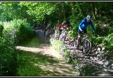
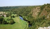
Tocht Paard Bourgvallées - La vallée de la Vire : 3 boucles pour cavaliers - Photo

La vallée de la Vire : 3 boucles pour cavaliers

 tracegps
tracegps

Gebruiker

© OpenStreetMap contributors
Lengte
Lengte
44 km
Max. hoogte
Max. hoogte
138 m
Positief hoogteverschil
673 m
Km-Effort
Km-Effort  
53 km
Min. hoogte
Min. hoogte
17 m
Negatief hoogteverschil
668 m
Boucle
Boucle
Ja
Datum van aanmaak :
2014-12-10 00:00:00.0
Laatste wijziging :
2014-12-10 00:00:00.0

(1 Bericht)

Paard
Paard
9h00
Moeilijkheid : Moeilijk

Scan deze QR-code om de tocht te openen in de SityTrail-applicatie

Gratisgps-wandelapplicatie

Logo SityTrail SityTrail

IGN / Geografische instituten

SityTrail uit de App Store downloaden SityTrail uit Google Play downloaden

Logo SityTrail SityTrail World

De wereld gaat voor u open

SityTrail uit de App Store downloaden SityTrail uit Google Play downloaden SityTrail op Huawei AppGallery downloaden

Over ons

Tocht Paard van 44 km beschikbaar op Normandië, Manche, Bourgvallées. Deze tocht wordt voorgesteld door tracegps.

Beschrijving

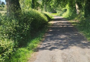
Un beau circuit « à la carte », avec 3 boucles qui peuvent être faites indépendamment les unes des autres. Parcourir les 3 la même journée est possible. Très beau circuit varié, qui suit le cours de la Vire, fleuve côtier qui arrive des confins de la Manche, du Calvados et de l'Orne. Après être passé à Saint-Lô, il passe par ici avant de se jeter dans la Manche, dans la baie des Veys. La navigation importante qui eut cours durant tout le XIXe siècle a laissé de beaux aménagements qui ponctuent ce circuit aménagé pour les randonneurs. Plus de détails sur le circuit (balisage, difficulté…), les points remarquables à proximité et téléchargements sur Manche Tourisme – Loisirs Randonnée GPS.

Hoogteprofiel

Foto's

POI's

POI Bourgvallées - 01_DEPART_MANCELLIERE - Photo
tracegps
BOURGVALLÉES 
POI Bourgvallées - 02_SUZANNE - Photo
tracegps
BOURGVALLÉES 
POI Bourgvallées - 03_DEPART_CONDE - Photo
tracegps
BOURGVALLÉES 
POI Condé-sur-Vire - 04_DEPART_MESNIL - Photo
tracegps
CONDÉ-SUR-VIRE 
POI Condé-sur-Vire - 05_INTERSECTION - Photo
tracegps
CONDÉ-SUR-VIRE 
POI Condé-sur-Vire - 06_CHAPELLE - Photo
tracegps
CONDÉ-SUR-VIRE 
POI Condé-sur-Vire - 07_INTERSECTION - Photo
tracegps
CONDÉ-SUR-VIRE 
POI Condé-sur-Vire - 08_ESCALADE - Photo
tracegps
CONDÉ-SUR-VIRE 
POI Condé-sur-Vire - 09_ROCHES_HAM_ - Photo
tracegps
CONDÉ-SUR-VIRE 
POI Domjean - 10_INTERSECTION - Photo
tracegps
POI Domjean - 11_DEPART_DOMJEAN_ - Photo
tracegps
POI Domjean - 12_INTERSECTION - Photo
tracegps

Plaatsbepaling

Land:
France
Regio :
Normandië
Departement/Provincie :
Manche
Gemeente :
Bourgvallées
Locatie:
La Mancellière-sur-Vire
Vertrek:(Dec)
Vertrek:(UTM)
640862 ; 5436951 (30U) N.

Opmerkingen

Gelieve in te loggen om een commentaar of een beoordeling achter te laten


Wandeltochten in de omgeving

Tocht Mountainbike Agneaux - L'Agnelaise 2014 - Agneaux - Photo
Mountainbike
tracegps

Mountainbike

Moeilijk
Agneaux, Normandië, Manche, France
44 km | 52 km-effort
3h 0min
Ja
Tocht Stappen Torigny-les-Villes - Les Roches de Ham - Photo
Stappen
PatRando

Stappen

Medium
Torigny-les-Villes, Normandië, Manche, France
5 km | 6,3 km-effort
1h 4min
Ja
Tocht Stappen Saint-Lô - BALLADE 2 JUIN - Photo
Stappen
PatRando

Stappen

Heel gemakkelijk
Saint-Lô, Normandië, Manche, France
3,1 km | 3,7 km-effort
51min
Ja
Tocht Stappen Saint-Lô - Ballade 2 juin 2020 - Photo
Stappen
PatRando

Stappen

Heel gemakkelijk
Saint-Lô, Normandië, Manche, France
3,6 km | 4,2 km-effort
1h 2min
Ja
Tocht Stappen Saint-Lô - Ballade - Photo
Stappen
PatRando

Stappen

Heel gemakkelijk
Saint-Lô, Normandië, Manche, France
814 m | 940 m-effort
22min
Ja
Tocht Stappen Saint-Lô - Le Hutrel 27 ai 2020 - Photo
Stappen
PatRando

Stappen

Heel gemakkelijk
Saint-Lô, Normandië, Manche, France
2,3 km | 2,9 km-effort
48min
Ja
Tocht Mountainbike Bourgvallées - La Samsonnaise 2014 - Photo
Mountainbike
tracegps

Mountainbike

Moeilijk
Bourgvallées, Normandië, Manche, France
47 km | 57 km-effort
3h 25min
Ja
Tocht Mountainbike Condé-sur-Vire - Boucle de Mesnil - Raoult    - Photo
Mountainbike
tracegps

Mountainbike

Medium
Condé-sur-Vire, Normandië, Manche, France
9,1 km | 11,1 km-effort
1h 0min
Ja
Tocht Stappen Condé-sur-Vire - Boucle de Mesnil - Raoult    - Photo
Stappen
tracegps

Stappen

Medium
Condé-sur-Vire, Normandië, Manche, France
9,1 km | 11,1 km-effort
2h 15min
Ja


Sluiten
Mijn abonnementen