


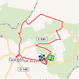


8,2 km | 8,9 km-effort

Gebruiker


Gratisgps-wandelapplicatie
 SityTrail
IGN / Geografische instituten
SityTrail World
De wereld gaat voor u open
Tocht Stappen van 8,2 km beschikbaar op Normandië, Manche, Gorges. Deze tocht wordt voorgesteld door tracegps.
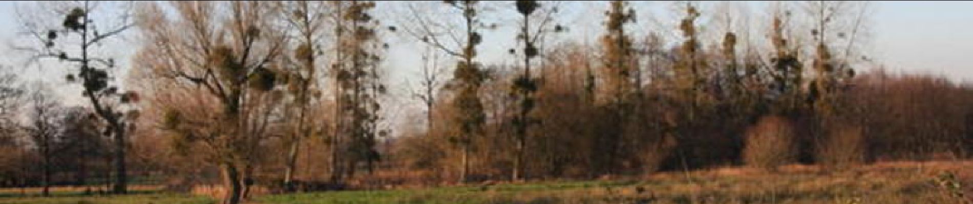
La Tourbière de Gorges Entre ruminants et plantes carnivores… Selon les saisons, les marais changent de couleur et d’usage. Au printemps, les vaches les rejoignent pour y paître jusqu’en novembre, tandis que dans la tourbière, au nord, gîtent des droséras, ces minuscules plantes carnivores qui affectionnent les milieux tourbeux… Plus de détails sur le circuit (balisage, difficulté…), les points remarquables à proximité et téléchargements sur Manche Tourisme – Loisirs Randonnée GPS.

