gourdouze SityTrail > Tochten > Outdoor > France > Occitanië > Lozère > Vialas SityTrail > Tochten > Outdoor > France > Occitanië > Lozère > Vialas gourdouze aurel69 Gebruiker 3D © OpenStreetMap contributors Lengte 13,7 km Max. hoogte 1417 m Positief hoogteverschil 829 m Km-Effort 25 km Min. hoogte 608 m Negatief hoogteverschil 827 m Boucle Ja Datum van aanmaak : 2019-05-06 12:01:57.694 Laatste wijziging : 2019-05-06 12:01:57.694 (1 Bericht) Stappen -- Moeilijkheid : Medium Gratisgps-wandelapplicatie SityTrail IGN / Geografische instituten SityTrail World De wereld gaat voor u open Over ons 
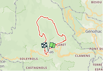
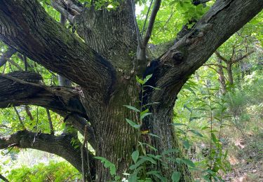
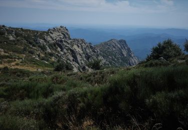
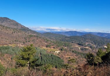
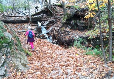
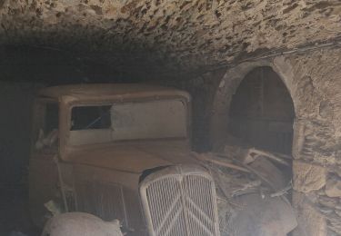
Tocht Stappen van 13,7 km beschikbaar op Occitanië, Lozère, Vialas. Deze tocht wordt voorgesteld door aurel69. Legenden | Meer details (PDF) Hoogteprofiel Legenden > 15% 15% - 10% 10% - 5% vlak 5% - 10% 10% - 15% 15% - 30% > 30% POI's aurel69 Histoire: Le village et son... VIALAS aurel69 Histoire: Architecture du p... VIALAS aurel69 Histoire: Gourdouze VIALAS aurel69 Savoir-faire: L'écobuage VIALAS aurel69 Géologie: La formation du m... VIALAS aurel69 Eau: Eau VIALAS Plaatsbepaling Land: France Regio : Occitanië Departement/Provincie : Lozère Gemeente : Vialas Locatie: Unknown Vertrek:(Dec) 44.333651 / 3.895621 Vertrek:(UTM) 571402 ; 4909322 (31T) N. Opmerkingen Gelieve in te loggen om een commentaar of een beoordeling achter te laten aurel69 2024-01-21 16:18:47.406 Wandeltochten in de omgeving alfreson Sentier de l'Avès depuis le Coupétadou Stappen Medium (1) Vialas, Occitanië, Lozère, France 15,3 km | 23 km-effort 4h 51min Ja GUIDE nadinebondoux Sentier de l'Avès Stappen Medium Ventalon en Cévennes, Occitanië, Lozère, France 14,7 km | 22 km-effort 4h 24min Ja GUIDE nadinebondoux sud Mont Lozère de Vialas Stappen Moeilijk Vialas, Occitanië, Lozère, France 17,5 km | 29 km-effort 6h 4min Ja GUIDE Roger Philippe Wallez Conclûmes Stappen Moeilijk Concoules, Occitanië, Gard, France 11,7 km | 17,2 km-effort 4h 14min Ja GUIDE Roger Philippe Wallez Vialas Stappen Zeer moeilijk Vialas, Occitanië, Lozère, France 17,8 km | 29 km-effort 7h 45min Neen GUIDE Charles Lemaire Randonnée Aller Retour Gourdouze - Trenze Stappen Moeilijk Vialas, Occitanië, Lozère, France 8,3 km | 13,7 km-effort 5h 12min Ja Levant la Coste Stappen Moeilijk Génolhac, Occitanië, Gard, France 11,4 km | 18,4 km-effort 3h 31min Ja sereton col de hauts de St privât. Stappen Gemakkelijk Ventalon en Cévennes, Occitanië, Lozère, France 8,6 km | 13,3 km-effort 2h 30min Ja nolsim Régordane 5 - Génolhac-Drulhes Stappen Moeilijk Génolhac, Occitanië, Gard, France 32 km | 41 km-effort 9h 1min Neen