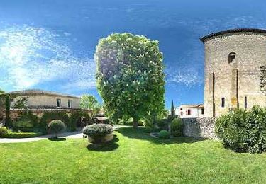
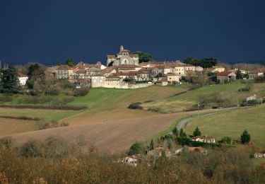
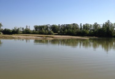
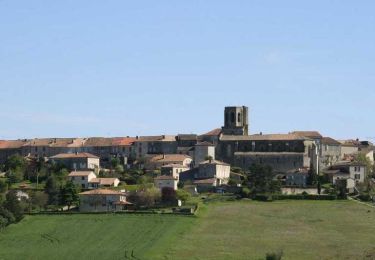
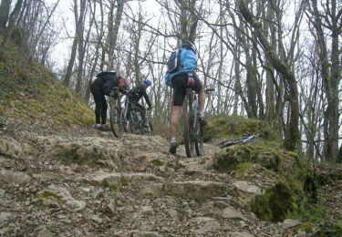
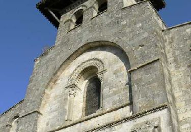
Tocht Mountainbike Estillac - La randonnée des villages du Bruilhois - Pays de l'Agenais - Photo

La randonnée des villages du Bruilhois - Pays de l'Agenais

 tracegps
tracegps

Gebruiker

© OpenStreetMap contributors
Lengte
Lengte
15,7 km
Max. hoogte
Max. hoogte
170 m
Positief hoogteverschil
420 m
Km-Effort
Km-Effort  
21 km
Min. hoogte
Min. hoogte
64 m
Negatief hoogteverschil
421 m
Boucle
Boucle
Ja
Datum van aanmaak :
2014-12-10 00:00:00.0
Laatste wijziging :
2014-12-10 00:00:00.0

(1 Bericht)

Mountainbike
Mountainbike
2h10
Moeilijkheid : Moeilijk

Scan deze QR-code om de tocht te openen in de SityTrail-applicatie

Gratisgps-wandelapplicatie

Logo SityTrail SityTrail

IGN / Geografische instituten

SityTrail uit de App Store downloaden SityTrail uit Google Play downloaden

Logo SityTrail SityTrail World

De wereld gaat voor u open

SityTrail uit de App Store downloaden SityTrail uit Google Play downloaden SityTrail op Huawei AppGallery downloaden

Over ons

Tocht Mountainbike van 15,7 km beschikbaar op Nieuw-Aquitanië, Lot-et-Garonne, Estillac. Deze tocht wordt voorgesteld door tracegps.

Beschrijving

Estillac / Sainte Colombe / Roquefort C. C. du Canton de Laplume en Bruilhois Quatre hauts lieux du Bruilhois sont desservis par ce parcours exigeant, avec la perspective de nombreux points de vue, coulant des coteaux de Gascogne, au sud, à la vallée de la Garonne au nord. Téléchargez la fiche de cette randonnée sur le site du Tourisme du Lot et Garonne.

Hoogteprofiel

Foto's

Plaatsbepaling

Land:
France
Regio :
Nieuw-Aquitanië
Departement/Provincie :
Lot-et-Garonne
Gemeente :
Estillac
Locatie:
Unknown
Vertrek:(Dec)
Vertrek:(UTM)
305225 ; 4892234 (31T) N.

Opmerkingen

Gelieve in te loggen om een commentaar of een beoordeling achter te laten


Wandeltochten in de omgeving

Tocht Stappen Moirax - Du Prieuré de Moirax à l'église de Sainte-Marie d'Aubiac - Pays de l'Agenais - Photo
Stappen
tracegps

Stappen

Moeilijk
(1)
Moirax, Nieuw-Aquitanië, Lot-et-Garonne, France
15,2 km | 22 km-effort
4h 10min
Ja
Tocht Mountainbike Moirax - Moirax, dans les coteaux de Marescot - Photo
Mountainbike
tracegps

Mountainbike

Medium
Moirax, Nieuw-Aquitanië, Lot-et-Garonne, France
13,2 km | 17,7 km-effort
1h 40min
Ja
Tocht Stappen Moirax - Moirax, dans les coteaux de Marescot - Photo
Stappen
tracegps

Stappen

Moeilijk
(1)
Moirax, Nieuw-Aquitanië, Lot-et-Garonne, France
13,2 km | 17,7 km-effort
3h 25min
Ja
Tocht Stappen Boé - Passeligne pélissier - Photo
Stappen
gege47

Stappen

Heel gemakkelijk
Boé, Nieuw-Aquitanië, Lot-et-Garonne, France
5 km | 5,5 km-effort
1h 10min
Ja
Tocht Stappen Laplume - Laplume, le circuit des trois lavoirs - Pays de l'Agenais - Photo
Stappen
tracegps

Stappen

Medium
Laplume, Nieuw-Aquitanië, Lot-et-Garonne, France
5,1 km | 7,1 km-effort
1h 30min
Ja
Tocht Mountainbike Estillac - Moirax - Photo
Mountainbike
tracegps

Mountainbike

Zeer moeilijk
(1)
Estillac, Nieuw-Aquitanië, Lot-et-Garonne, France
42 km | 53 km-effort
3h 0min
Ja
Tocht Paard Moirax - Du Prieuré de Moirax à l'église de Sainte-Marie d'Aubiac - Pays de l'Agenais - Photo
Paard
tracegps

Paard

Moeilijk
Moirax, Nieuw-Aquitanië, Lot-et-Garonne, France
15,2 km | 22 km-effort
2h 40min
Ja
Tocht Mountainbike Moirax - Du Prieuré de Moirax à l'église de Sainte-Marie d'Aubiac - Pays de l'Agenais - Photo
Mountainbike
tracegps

Mountainbike

Moeilijk
Moirax, Nieuw-Aquitanië, Lot-et-Garonne, France
15,2 km | 22 km-effort
2h 0min
Ja
Tocht Stappen Moirax - Moirax, sur la route des pèlerins de Saint-Jacques-de-Compostelle - Pays de l'Agenais - Photo
Stappen
tracegps

Stappen

Medium
Moirax, Nieuw-Aquitanië, Lot-et-Garonne, France
6,5 km | 8,7 km-effort
1h 45min
Ja


Sluiten
Mijn abonnementen