


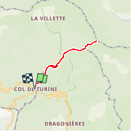

14,5 km | 25 km-effort

Gebruiker


Gratisgps-wandelapplicatie
 SityTrail
IGN / Geografische instituten
SityTrail World
De wereld gaat voor u open
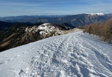
Tocht Sneeuwschoenen van 11,1 km beschikbaar op Provence-Alpes-Côte d'Azur, Alpes-Maritimes, La Bollène-Vésubie. Deze tocht wordt voorgesteld door GrouGary.
A/R cause brouillard neigeux. Montée sur une magnifique crête de neige ourlée. Retour sentier en contrebas de la route dans forêt enneigée. Super.


Stappen

Te voet

Te voet
Te voet
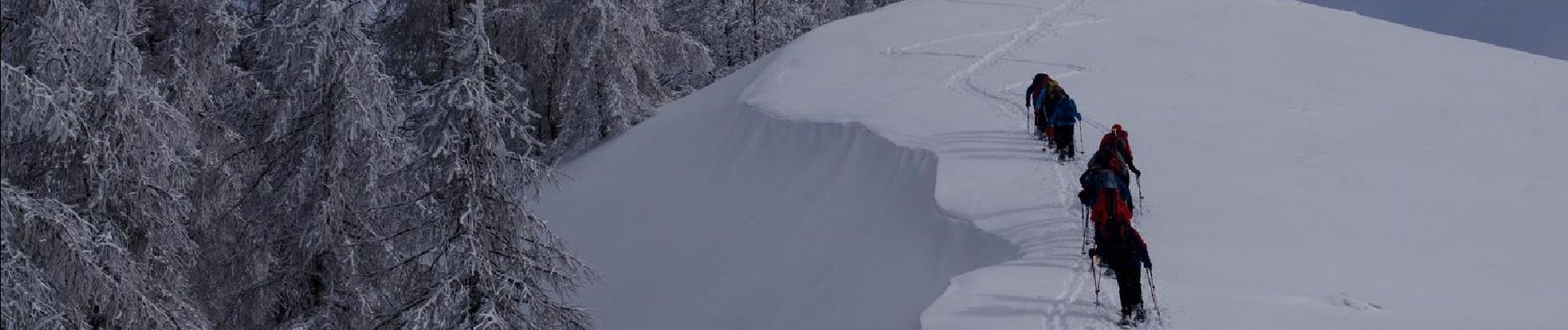
Sneeuwschoenen
Stappen
Te voet

Stappen
Stappen