


15,2 km | 22 km-effort

Gebruiker


Gratisgps-wandelapplicatie
 SityTrail
IGN / Geografische instituten
SityTrail World
De wereld gaat voor u open
Tocht Stappen van 13,6 km beschikbaar op Nieuw-Aquitanië, Lot-et-Garonne, Aubiac. Deze tocht wordt voorgesteld door tracegps.
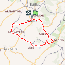
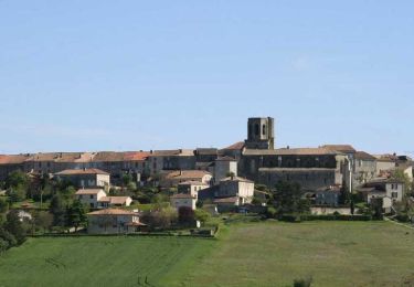
Aubiac Cté de Communes du Canton de Laplume en Bruilhois De l’église fortifiée d’Aubiac, classée Monument Historique, ce circuit sillonne les collines arrondies des coteaux de Gascogne où vergers et cultures céréalières dominent. Au printemps, le site de l’iriseraie de Papon attire le regard. Téléchargez la fiche de cette randonnée sur le site du Tourisme du Lot et Garonne.


Stappen

Mountainbike

Stappen

Stappen
Stappen
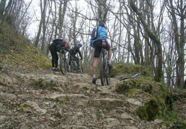
Mountainbike

Te voet
Te voet
Te voet
Pas mal