


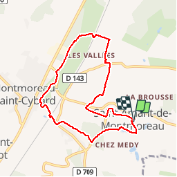

11 km | 13,6 km-effort

Gebruiker


Gratisgps-wandelapplicatie
 SityTrail
IGN / Geografische instituten
SityTrail World
De wereld gaat voor u open
Tocht Stappen van 8,4 km beschikbaar op Nieuw-Aquitanië, Charente, Montmoreau. Deze tocht wordt voorgesteld door dorcier.
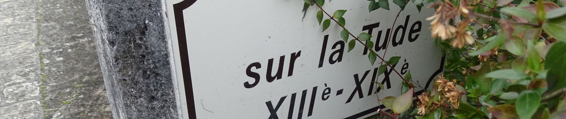
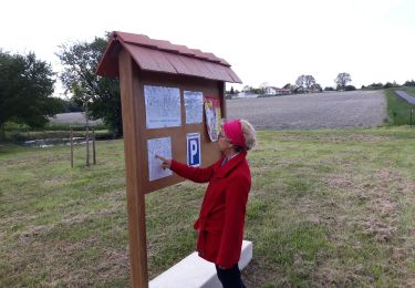
Agréable promenade, circuit vallonné. Passage sur le pont du XIIIème XIX"ème. puis longer la Tude. possibilité de pique-nique au bord de la rivière.


Stappen

Te voet

Stappen
Stappen
Stappen
Stappen

Stappen

Stappen