

Le Puigmal d'Err

tracegps
Gebruiker

Lengte
11,3 km

Max. hoogte
2904 m

Positief hoogteverschil
1017 m

Km-Effort
25 km

Min. hoogte
1980 m

Negatief hoogteverschil
1018 m
Boucle
Ja
Datum van aanmaak :
2014-12-10 00:00:00.0
Laatste wijziging :
2014-12-10 00:00:00.0
6h45
Moeilijkheid : Moeilijk

Gratisgps-wandelapplicatie
Over ons
Tocht Stappen van 11,3 km beschikbaar op Occitanië, Pyrénées-Orientales, Err. Deze tocht wordt voorgesteld door tracegps.
Beschrijving
Une randonnée en boucle depuis Les Planes pour aller au Puigmal d'Err en montant par le Pic de Duraneu et la Tossa del pas dels Lladres et en desendant par le vallon de la Ribera d'Err.
Plaatsbepaling
Land:
France
Regio :
Occitanië
Departement/Provincie :
Pyrénées-Orientales
Gemeente :
Err
Locatie:
Unknown
Vertrek:(Dec)
Vertrek:(UTM)
424060 ; 4694119 (31T) N.
Opmerkingen
Wandeltochten in de omgeving
Chapelle San Bernabéu


Stappen
Gemakkelijk
Valcebollère,
Occitanië,
Pyrénées-Orientales,
France

5,4 km | 8,6 km-effort
1h 50min
Neen

la cami de sant bertheleu


Stappen
Heel gemakkelijk
Valcebollère,
Occitanië,
Pyrénées-Orientales,
France

6,2 km | 9,7 km-effort
2h 25min
Ja
d'Err à Bolquère


Stappen
Gemakkelijk
Err,
Occitanië,
Pyrénées-Orientales,
France

12,9 km | 18,5 km-effort
4h 10min
Neen
Pigmal


Stappen
Zeer moeilijk
Err,
Occitanië,
Pyrénées-Orientales,
France

13,2 km | 27 km-effort
7h 8min
Ja
Pas de Lladres - Err


Sneeuwschoenen
Moeilijk
Err,
Occitanië,
Pyrénées-Orientales,
France

15,1 km | 28 km-effort
5h 0min
Ja
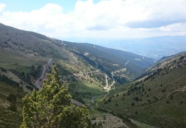
Puig Puigmal d'err


Stappen
Medium
Err,
Occitanië,
Pyrénées-Orientales,
France

10,4 km | 23 km-effort
3h 12min
Ja
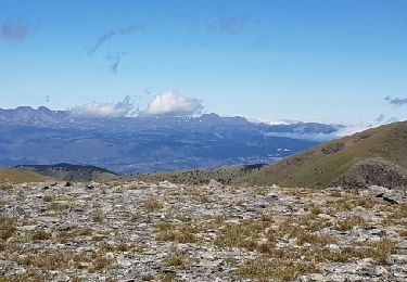
balade frontalière


Stappen
Gemakkelijk
Valcebollère,
Occitanië,
Pyrénées-Orientales,
France

11,4 km | 17,6 km-effort
3h 9min
Ja

parking les Planes au Puigmal d'Err


Stappen
Moeilijk
Err,
Occitanië,
Pyrénées-Orientales,
France

11,5 km | 24 km-effort
5h 0min
Ja
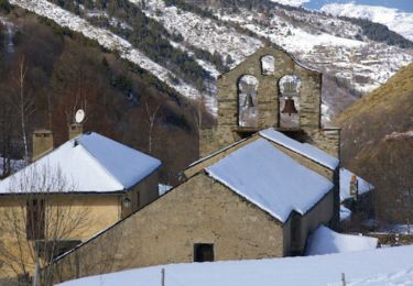
La Capella de Sant Barnabeu - Valcebollère


Sneeuwschoenen
Moeilijk
Valcebollère,
Occitanië,
Pyrénées-Orientales,
France

9,9 km | 14,7 km-effort
4h 49min
Ja


 SityTrail


