


11,9 km | 13,2 km-effort

Gebruiker


Gratisgps-wandelapplicatie
 SityTrail
IGN / Geografische instituten
SityTrail World
De wereld gaat voor u open
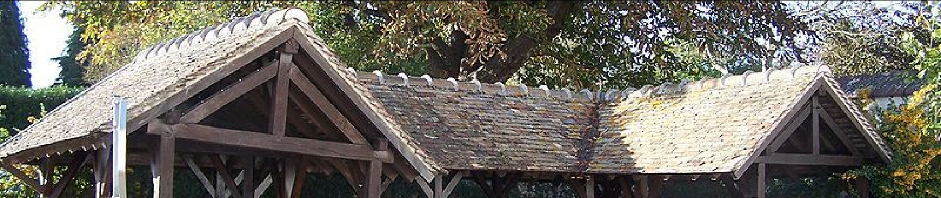
Tocht Stappen van 25 km beschikbaar op Île-de-France, Yvelines, Auteuil. Deze tocht wordt voorgesteld door tracegps.
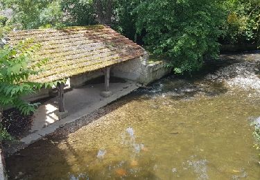
Circuit proposé par le Comité Départemental de Randonnée des Hauts de Seine. Parking départ : Auteuil, Eglise Descriptif : PR, Auteuil, chapelle Saint Santin ....GR11, Val Cornu, les Joncs, le Haut Pinet ....PR, l’Ozier, Elleville, Osmoy (13 déj) ....GR11, la Poussinière, Flexanville, le Haut Pinet....PR, la Vieuvigne, les Courants ....nb, les Prés Durand, les Groux....PR, Auteuil Des sentiers ont pu être modifiés depuis la dernière validation et les itinéraires proposés n’engagent pas la responsabilité du Comité. Signalez-nous les modifications rencontrées pour mise à jour de la randothèque.


Stappen
Stappen
Stappen
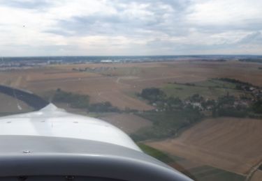
Vliegtuig
Stappen
Stappen
Stappen
Stappen

Stappen
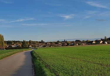
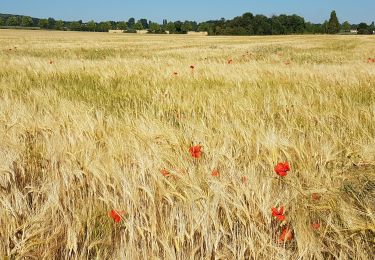
Aucun intérêt sauf si on aime les champs de mais et les ornières de tracteurs.