


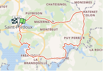

10,8 km | 13,4 km-effort

Gebruiker


Gratisgps-wandelapplicatie
 SityTrail
IGN / Geografische instituten
SityTrail World
De wereld gaat voor u open
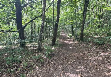
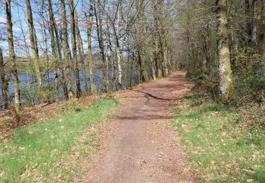
Tocht Paard van 10,8 km beschikbaar op Nieuw-Aquitanië, Haute-Vienne, Saint-Pardoux-le-Lac. Deze tocht wordt voorgesteld door tracegps.
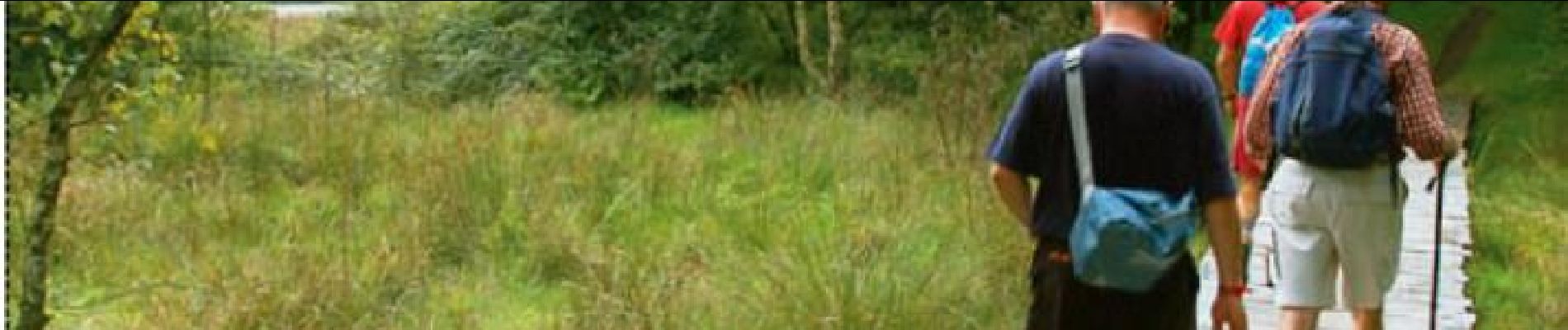
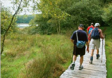
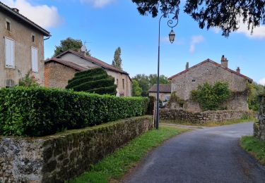
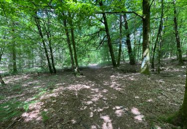
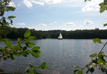
Circuit proposé par le Comité Départemental du Tourisme de la Haute-Vienne sur le site www.randonnee-hautevienne.com . Circuit Les Daumiers à Saint Pardoux Départ : Devant l'Office de Tourisme. Le circuit "Les Daumiers" propose une très belle balade au bord du lac de Saint-Pardoux. Une alternance de prairies, de forêts, de lacs et étangs rythmera votre randonnée.... Les points forts de la Rando : Panorama sur le lac de Saint-Pardoux, Bourg de Saint-Pardoux (église romane du XII et XIIIème siècle, halle), le bourg de Fréaudour. Téléchargez la fiche du circuit sur le site Randonnée en Haute Vienne.

Stappen
Stappen

sport
Stappen
Stappen
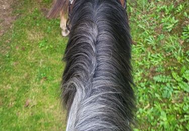
Paardrijden
Stappen
Mountainbike

Mountainbike