


12,4 km | 15,2 km-effort


Gebruiker


Gratisgps-wandelapplicatie
 SityTrail
IGN / Geografische instituten
SityTrail World
De wereld gaat voor u open
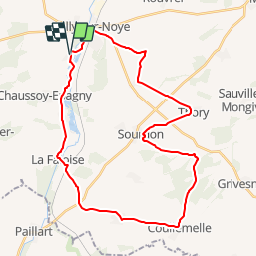
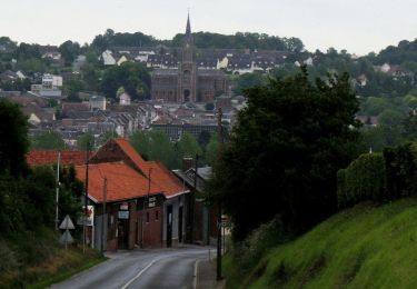
Tocht Fiets van 33 km beschikbaar op Hauts-de-France, Somme, Ailly-sur-Noye. Deze tocht wordt voorgesteld door tracegps.
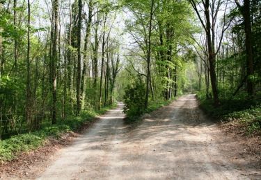
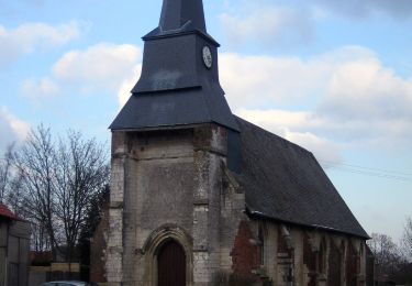
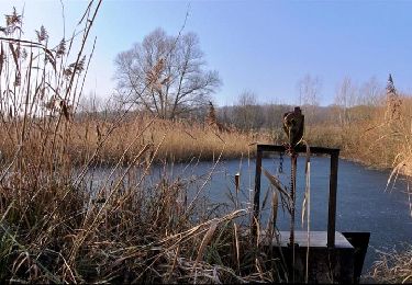
Le Val de Noye - Boucle de Coullemelle Une boucle à la découverte d’une très jolie vallée enchâssée dans un écrin de verdure avec étangs et peupleraies. À voir ; Vallée de la Noye : nombreux étangs.

Stappen
Stappen

Stappen
Stappen
Stappen
Te voet
Andere activiteiten
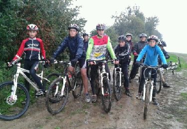
Mountainbike
Fiets