


10,6 km | 19,3 km-effort

Gebruiker


Gratisgps-wandelapplicatie
 SityTrail
IGN / Geografische instituten
SityTrail World
De wereld gaat voor u open
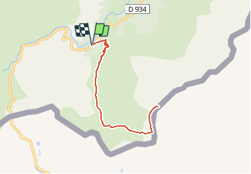
Tocht Sneeuwschoenen van 8,4 km beschikbaar op Nieuw-Aquitanië, Pyrénées-Atlantiques, Laruns. Deze tocht wordt voorgesteld door tracegps.
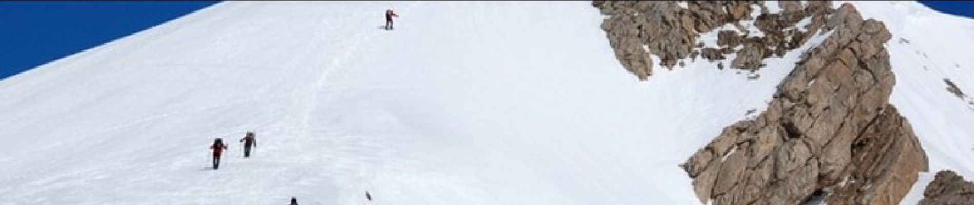
Randonnée raquettes Pic de Peyrelue 2441m depuis le pont de Peyrelue (1570m) Sur la crête frontière, ce pic d'accès rapide et facile est un intéressant belvédère accessible à tous les randonneurs en été. Du sommet, on découvre l'Ossau sous un angle assez inhabituel et propice à des clichés originaux: n'oubliez donc pas vos appareils photos. D’autres indications, photos et panoramiques sur le site « Les Pyrénées vues par Mariano ».


Stappen

Stappen

Stappen

Te voet
Stappen

Stappen

Stappen

Stappen
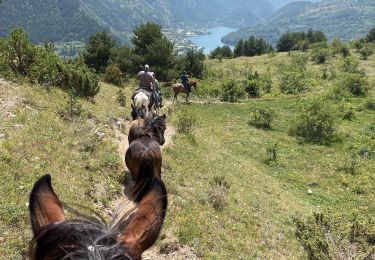
Paardrijden