


6,5 km | 7,9 km-effort


Gebruiker


Gratisgps-wandelapplicatie
 SityTrail
IGN / Geografische instituten
SityTrail World
De wereld gaat voor u open
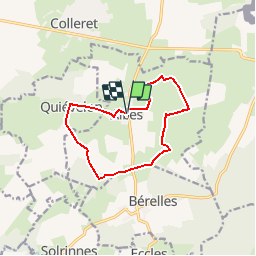
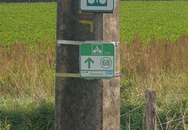
Tocht Stappen van 10,6 km beschikbaar op Hauts-de-France, Noorderdepartement, Aibes. Deze tocht wordt voorgesteld door tracegps.
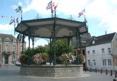
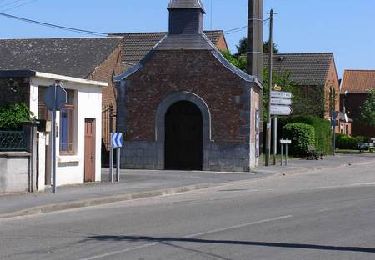
Circuit proposé par le Comité Départemental du Tourisme du Nord et l’Office de Tourisme du Nord-Est Avesnois . Départ de la mairie d’Aibes Si le besoin de silence, de quiétude, de paysages vallonnés et bucoliques vous envahit, le circuit des bois de Fagne répondra à vos attentes et vous laissera dans l’esprit une sensation de repos et de vacances… Difficile de se croire dans le NORD, surtout si le soleil est au rendez-vous. Retrouvez cette randonnée sur le site du Comité Départemental du Tourisme du Nord.
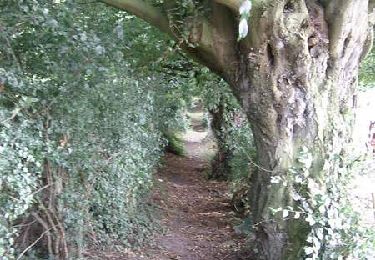
 - Photo 1")
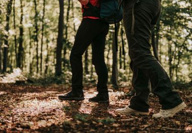
 - Photo 2")
Stappen
Stappen
Te voet

Stappen
Stappen
Stappen

Fiets
Mountainbike
Mountainbike