


3,3 km | 4 km-effort

Gebruiker


Gratisgps-wandelapplicatie
 SityTrail
IGN / Geografische instituten
SityTrail World
De wereld gaat voor u open
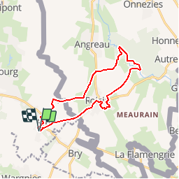
Tocht Stappen van 11,6 km beschikbaar op Hauts-de-France, Noorderdepartement, Eth. Deze tocht wordt voorgesteld door tracegps.
Circuit proposé par le comité départemental du tourisme du Nord. Départ de l’église d’Eth. Ce circuit transfrontalier emprunte des petites routes et des chemins agricoles. Le site classé du Caillou-qui-Bique invite à un comportement respectueux. Retrouvez cette randonnée sur le site du Comité Départemental du Tourisme du Nord.
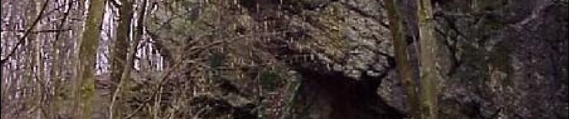
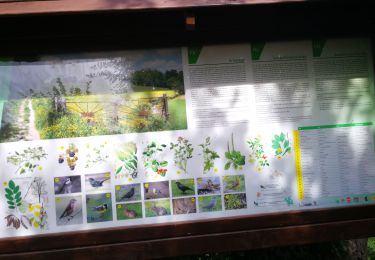
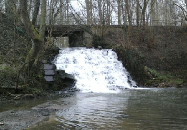
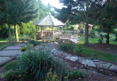
 - Photo 1")
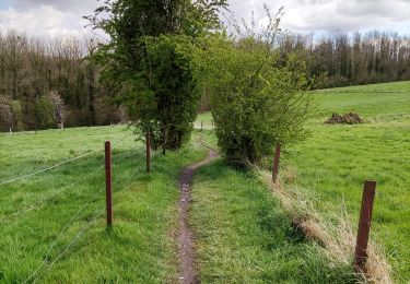
 - Photo 2")
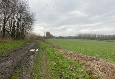
 - Photo 3")
Stappen
Stappen

Stappen
Stappen
Stappen
Stappen

Quad

Stappen
Stappen