


11,8 km | 12,9 km-effort


Gebruiker


Gratisgps-wandelapplicatie
 SityTrail
IGN / Geografische instituten
SityTrail World
De wereld gaat voor u open
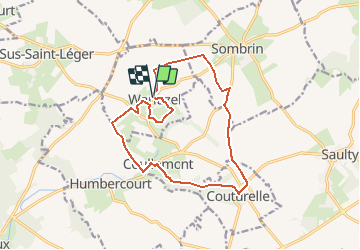
Tocht Stappen van 13,4 km beschikbaar op Hauts-de-France, Pas-de-Calais, Warluzel. Deze tocht wordt voorgesteld door tracegps.
Circuit proposé par la communauté de Communes des 2 Sources. Départ : Église Sainte-Marie-Madeleine de Warluzel . La Coule et la Grouche prennent leur source à proximité du sentier. La Coule, cours d’eau irrégulier, est un affluent de la Grouche qui se jette dans l’Authie à Doullens. Retrouvez le circuit et son descriptif sur le site de la communauté de Communes des 2 Sources.
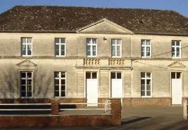
 - Photo 1")
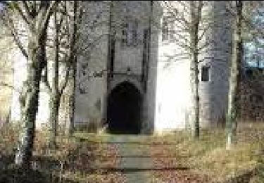
 - Photo 2")
Stappen
Stappen

Stappen

Motor
Stappen
Stappen
Stappen