Tocht Lopen Luquet - Lac de Gabas - Luquet - Photo

Lac de Gabas - Luquet

 tracegps
tracegps

Gebruiker

© OpenStreetMap contributors
Lengte
Lengte
9,3 km
Max. hoogte
Max. hoogte
380 m
Positief hoogteverschil
139 m
Km-Effort
Km-Effort  
11,1 km
Min. hoogte
Min. hoogte
335 m
Negatief hoogteverschil
138 m
Boucle
Boucle
Ja
Datum van aanmaak :
2014-12-10 00:00:00.0
Laatste wijziging :
2014-12-10 00:00:00.0

(1 Bericht)

Lopen
Lopen
1h30
Moeilijkheid : Moeilijk

Scan deze QR-code om de tocht te openen in de SityTrail-applicatie

Gratisgps-wandelapplicatie

Logo SityTrail SityTrail

IGN / Geografische instituten

SityTrail uit de App Store downloaden SityTrail uit Google Play downloaden

Logo SityTrail SityTrail World

De wereld gaat voor u open

SityTrail uit de App Store downloaden SityTrail uit Google Play downloaden SityTrail op Huawei AppGallery downloaden

Over ons

Tocht Lopen van 9,3 km beschikbaar op Occitanië, Hautes-Pyrénées, Luquet. Deze tocht wordt voorgesteld door tracegps.

Beschrijving

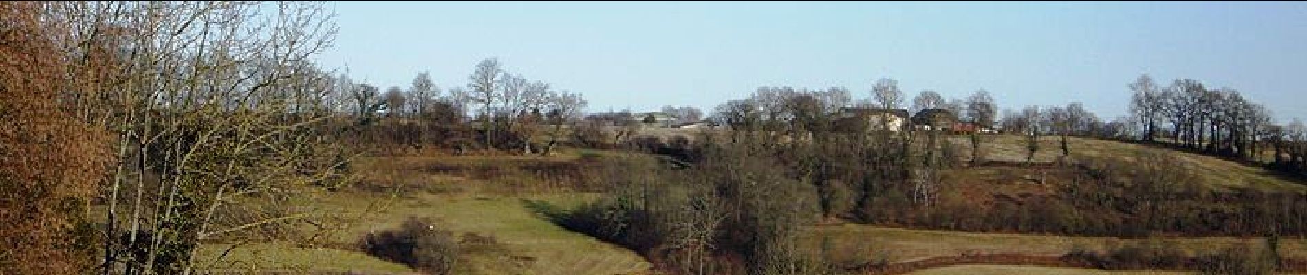
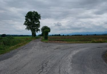
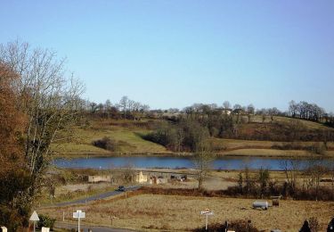
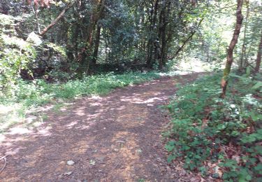
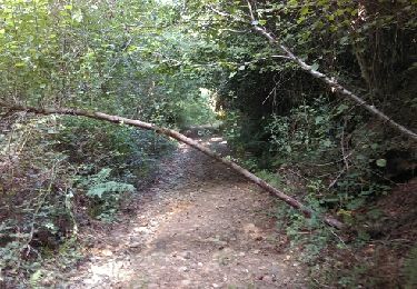
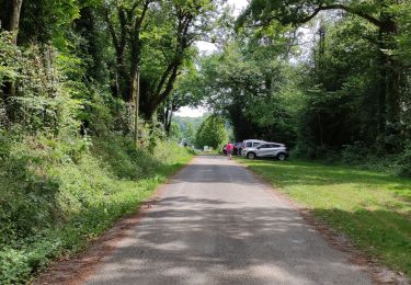
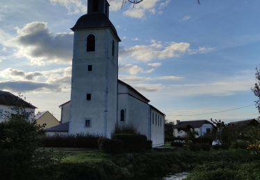
Balade autour d'un lac au pied de la chaîne des Pyrénées. Magnifique vue sur le massif tout au long de la rando. Une belle sortie a faire en famille ou en sportif. La fiche descriptive du circuit par le Comité départemental du Tourisme.

Hoogteprofiel

Foto's

Plaatsbepaling

Land:
France
Regio :
Occitanië
Departement/Provincie :
Hautes-Pyrénées
Gemeente :
Luquet
Locatie:
Unknown
Vertrek:(Dec)
Vertrek:(UTM)
734151 ; 4794608 (30T) N.

Opmerkingen

Gelieve in te loggen om een commentaar of een beoordeling achter te laten


balade sympa pour tous en fonction du rythme


Wandeltochten in de omgeving

Tocht Stappen Luquet - Lac de Gabas - Luquet - Photo
Stappen
tracegps

Stappen

Medium
(1)
Luquet, Occitanië, Hautes-Pyrénées, France
9,3 km | 11,1 km-effort
2h 0min
Ja
Tocht Stappen Aast - RS AAST Sayetes Long - Photo
Stappen
LouisROGER

Stappen

Heel gemakkelijk
(1)
Aast, Nieuw-Aquitanië, Pyrénées-Atlantiques, France
4,3 km | 4,6 km-effort
1h 1min
Ja
Tocht Stappen Lourenties - LOURENTIES. RS PN - Photo
Stappen
GUIDE
marmotte65

Stappen

Gemakkelijk
Lourenties, Nieuw-Aquitanië, Pyrénées-Atlantiques, France
3,9 km | 4,6 km-effort
1h 22min
Ja
Tocht Stappen Livron - LIVRON RS Artigamen et le bois de chataigners
Stappen
GUIDE
marmotte65

Stappen

Gemakkelijk
Livron, Nieuw-Aquitanië, Pyrénées-Atlantiques, France
5 km | 5,7 km-effort
1h 40min
Ja
Tocht Stappen Eslourenties-Daban - ESLOURENTIES DABAN.   RS - Photo
Stappen
GUIDE
marmotte65

Stappen

Gemakkelijk
Eslourenties-Daban, Nieuw-Aquitanië, Pyrénées-Atlantiques, France
4,8 km | 5,8 km-effort
1h 38min
Ja
Tocht Te voet Espoey - ESPOEY RS  du village au pied du bois - Photo
Te voet
GUIDE
marmotte65

Te voet

Gemakkelijk
Espoey, Nieuw-Aquitanië, Pyrénées-Atlantiques, France
5,5 km | 6,2 km-effort
1h 39min
Ja
Tocht Noords wandelen Livron - Livron capsus Barzun plateau capbat - Photo
Noords wandelen
LouisROGER

Noords wandelen

Heel gemakkelijk
Livron, Nieuw-Aquitanië, Pyrénées-Atlantiques, France
9,6 km | 11,8 km-effort
1h 53min
Ja
Tocht Stappen Espoey - Mairie à Mairie1 - Photo
Stappen
LouisROGER

Stappen

Gemakkelijk
(1)
Espoey, Nieuw-Aquitanië, Pyrénées-Atlantiques, France
5 km | 5,7 km-effort
1h 11min
Ja
Tocht Stappen Livron - sur les pas deBC 2018 - Photo
Stappen
LouisROGER

Stappen

Heel gemakkelijk
Livron, Nieuw-Aquitanië, Pyrénées-Atlantiques, France
12 km | 14,2 km-effort
3h 6min
Ja


Sluiten
Mijn abonnementen