


9 km | 10,3 km-effort


Gebruiker


Gratisgps-wandelapplicatie
 SityTrail
IGN / Geografische instituten
SityTrail World
De wereld gaat voor u open
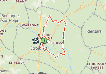
Tocht Stappen van 11,5 km beschikbaar op Hauts-de-France, Noorderdepartement, Étrœungt. Deze tocht wordt voorgesteld door tracegps.
Circuit proposé par le comité départemental du Nord et le Syndicat d’Initiative de Etroeungt. Départ de l’église d’Etroeungt. Ce circuit, au cœur de la Thiérache et de la vallée de l'Helpe Mineure, traverse des milieux très humides. Le port de chaussures étanches s'avère nécessaire quasi toute année. Retrouvez cette randonnée sur le site du Comité Départemental du Tourisme du Nord.
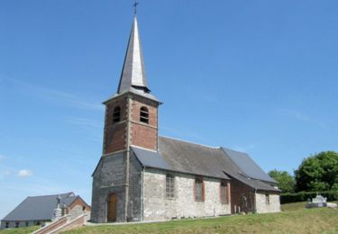
 - Photo 1")
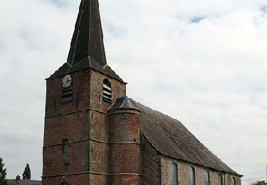
 - Photo 2")
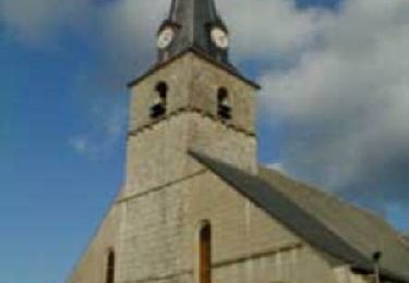
 - Photo 3")

Stappen
Stappen
Stappen
Stappen

Stappen
Stappen
Stappen
Stappen
Stappen