


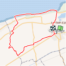

5,8 km | 6 km-effort


Gebruiker


Gratisgps-wandelapplicatie
 SityTrail
IGN / Geografische instituten
SityTrail World
De wereld gaat voor u open
Tocht Stappen van 16,2 km beschikbaar op Hauts-de-France, Pas-de-Calais, Ooie. Deze tocht wordt voorgesteld door tracegps.
Circuit proposé par la Communauté de Communes de la région d’Audruiq. Départ de la mairie d’Oye-Plage. Vous découvrirez les vestiges de notre territoire avec les moulins, les fermes ainsi que les lieux dits. Vous pourrez aussi apercevoir l’aéroport de Marck, et rêvez .... Alors réservez votre billet d’avion en téléchargeant le plan de cette excursion et son guide. Ce circuit a été numérisé par les randonneurs du CODEPEM. Merci à Jean-Marie.
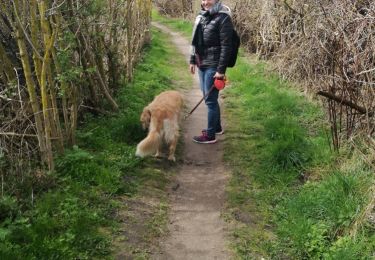
 - Photo 1")
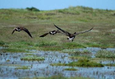
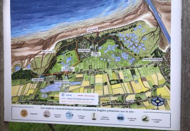
 - Photo 2")

Stappen
Stappen
Stappen
Stappen
Fiets
Stappen
Stappen
Stappen
Stappen