


19 km | 24 km-effort

Gebruiker


Gratisgps-wandelapplicatie
 SityTrail
IGN / Geografische instituten
SityTrail World
De wereld gaat voor u open
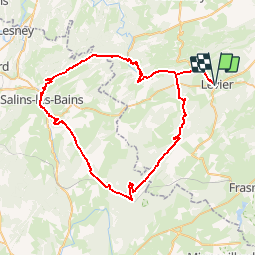
Tocht Fiets van 69 km beschikbaar op Bourgondië-Franche-Comté, Doubs, Levier. Deze tocht wordt voorgesteld door tracegps.
Le Doubs, réserve naturelle d’idées neuves ! Le Mont Poupet Point Infos à Levier Musée relais du cheval comtois et de la forêt (03 81 89 58 74) à Levier Route des sapins : traverse 10 000 hectares de forêts qui sont les sapinières les plus prestigieuses d'Europe par la dimension de leurs arbres (Epicéas du Roi de Rome, Parc animalier du Rondé, Sapin Président, Passage antique de Chalamont, belvédères…) Office de tourisme (03 84 73 01 34) à Salins-les-Bains (39) Salines de Salins-les-Bains A proximité Sommet et belvédère du mont Poupet (850 m) Taillanderie à Nans-sous-Sainte-Anne (03 81 86 64 18), ancienne fabrique de faux et outils coupants, moulin à aube et martinets en fonctionnement Source du Lison, Creux billard, grotte sarrasine et nombreux belvédères Via ferrata A proximité Le Pont du Diable à Crouzet-Migette

Stappen
Stappen
Lopen

Stappen
Stappen

Paardrijden

Stappen

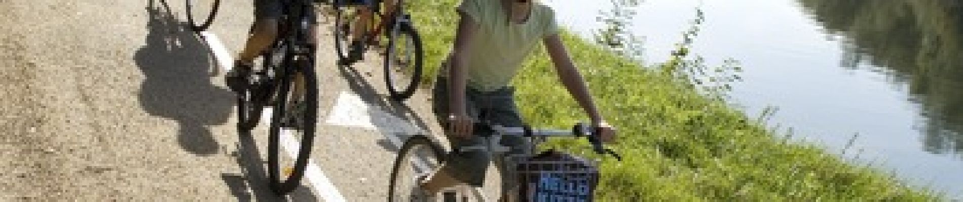
Hybride fiets

Lopen