


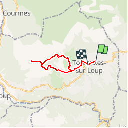


13,1 km | 22 km-effort

Gebruiker


Gratisgps-wandelapplicatie
 SityTrail
IGN / Geografische instituten
SityTrail World
De wereld gaat voor u open
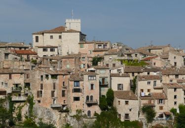
Tocht Stappen van 10,4 km beschikbaar op Provence-Alpes-Côte d'Azur, Alpes-Maritimes, Tourrettes-sur-Loup. Deze tocht wordt voorgesteld door domi06.
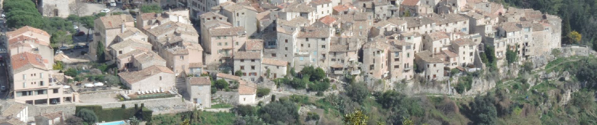
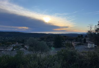
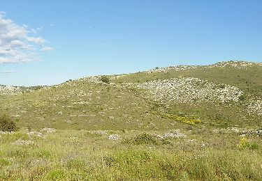
Belle randonnée au dessus de Tourrettes sur Loup, le village des violettes. Extension par le domaine de Courmettes .Beau Panorama sur l'Estérel et la baie de Nice.


Stappen
Stappen
Te voet
Te voet

Te voet
Te voet
Te voet

Te voet
Te voet