


15,9 km | 21 km-effort

Gebruiker


Gratisgps-wandelapplicatie
 SityTrail
IGN / Geografische instituten
SityTrail World
De wereld gaat voor u open
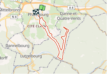
Tocht Mountainbike van 14 km beschikbaar op Grand Est, Moselle, Phalsbourg. Deze tocht wordt voorgesteld door tracegps.
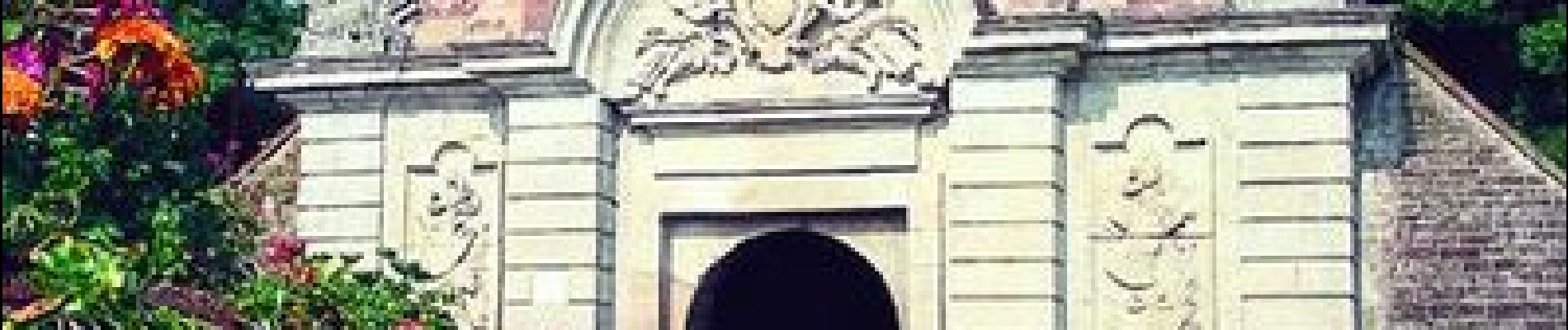
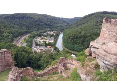
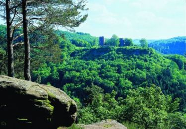
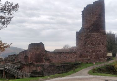
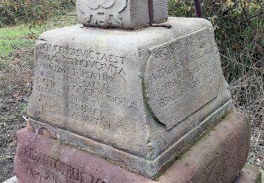
De la Place d’Armes, rejoindre le Centre Européen en passant sous le porche de la Caserne Lobau. Depuis le Centre Européen, traverser la Nationale 4 en direction du cimetière israélite. Le circuit descend la vallée du Brunnenthal en empruntant une partie du Sentier botanique. Après une petite descente, il passe entre La Fée de la forêt ,magnifique sculpture dans un tronc d’arbre et La maison de l’Ermite en amont sur la gauche. Une visite s’impose. La descente se poursuit en douceur sur un chemin empierré jusqu’à l’écluse n°24 dans la vallée de la Zorn. Le parcours longe le canal de la Marne au Rhin sur la gauche puis remonte ensuite en douceur la vallée du Stutzbach pour pénétrer en forêt, direction Marterberg. Le circuit passe ensuite entre le Rocher Albert et la Grotte de Danne pour arriver à la maison forestière du Finstingerkopf. Il repart ensuite vers la Roche Plate puis rejoint Bois de Chênes Bas. Suivre ensuite la route qui rejoint la Nationale 4. Traverser celle-ci puis regagner la Place d’Armes par la rue Devers et la Porte d’Allemagne. Retrouvez d’autres informations sur Phalsbourg


Stappen
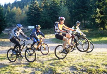
Mountainbike
Stappen

Te voet
Stappen

Stappen
Stappen

Paard
Te voet