


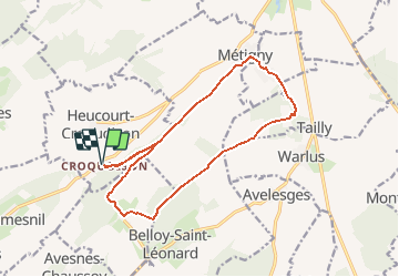

13,6 km | 16,5 km-effort

Gebruiker


Gratisgps-wandelapplicatie
 SityTrail
IGN / Geografische instituten
SityTrail World
De wereld gaat voor u open
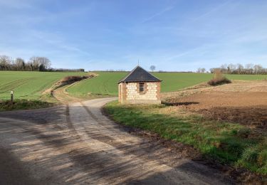
Tocht Stappen van 14,5 km beschikbaar op Hauts-de-France, Somme, Heucourt-Croquoison. Deze tocht wordt voorgesteld door tracegps.
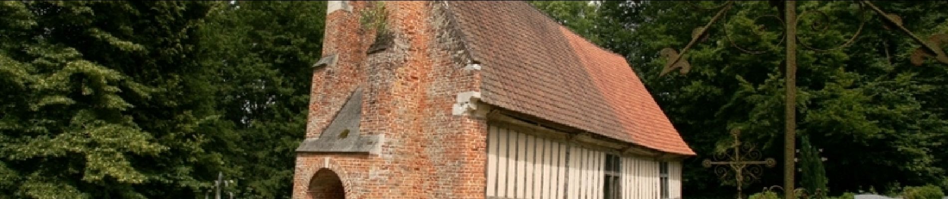
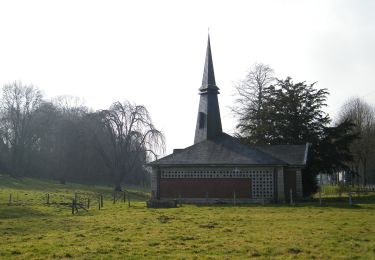
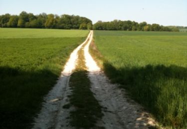
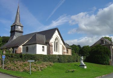
Parcourir ce coin de terre picarde où un jeune Saint-Cyrien passa sa jeunesse avant de recevoir son bâton de maréchal.

Te voet
Mountainbike
Te voet

Stappen

Elektrische fiets
Elektrische fiets

Stappen