


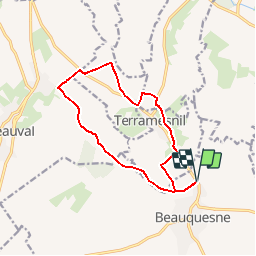

10,5 km | 11,9 km-effort

Gebruiker


Gratisgps-wandelapplicatie
 SityTrail
IGN / Geografische instituten
SityTrail World
De wereld gaat voor u open
Tocht Stappen van 11,7 km beschikbaar op Hauts-de-France, Somme, Beauquesne. Deze tocht wordt voorgesteld door tracegps.
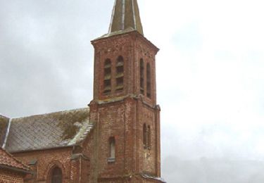
Si les chênes ayant inspiré le nom de ce village y poussent toujours, le train qui y passait naguère a disparu. Pour télécharger la fiche du circuit en format pdf.


Te voet
Stappen
Stappen
Stappen

Stappen

Te voet
Stappen

Stappen