9,8 km | 12,5 km-effort
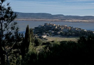
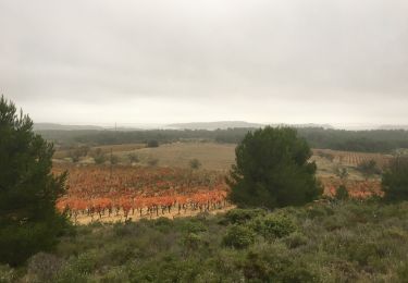
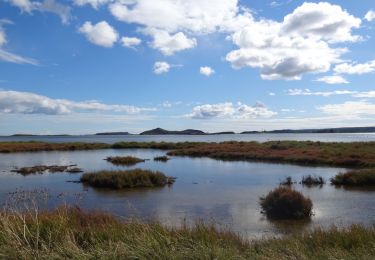
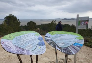
Le tour de l'étang du Doul
tracegps
Gebruiker
Lengte
5,2 km
Max. hoogte
66 m
Positief hoogteverschil
131 m
Km-Effort
6,9 km
Min. hoogte
0 m
Negatief hoogteverschil
129 m
Boucle
Ja
Datum van aanmaak :
2014-12-10 00:00:00.0
Laatste wijziging :
2014-12-10 00:00:00.0
2h00
Moeilijkheid : Medium
Gratisgps-wandelapplicatie
Over ons
Tocht Stappen van 5,2 km beschikbaar op Occitanië, Aude, Peyriac-de-Mer. Deze tocht wordt voorgesteld door tracegps.
Beschrijving
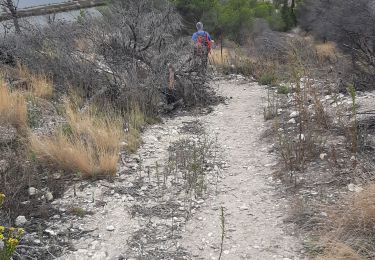
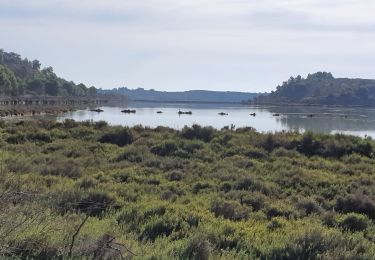
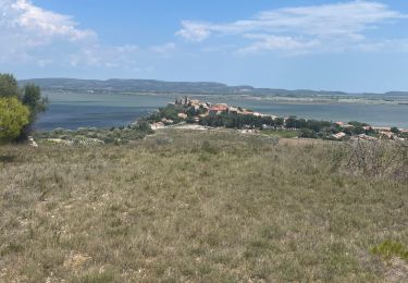
Une boucle autour de l'Etang du Doul à Peyriac-de-Mer. D’autres informations et photos sont disponibles ICI
Plaatsbepaling
Land:
France
Regio :
Occitanië
Departement/Provincie :
Aude
Gemeente :
Peyriac-de-Mer
Locatie:
Unknown
Vertrek:(Dec)
Vertrek:(UTM)
497916 ; 4770438 (31T) N.
Opmerkingen
Wandeltochten in de omgeving
peyriac bages peyriac
Stappen
Moeilijk
Peyriac-de-Mer,
Occitanië,
Aude,
France
14,3 km | 17,1 km-effort
5h 19min
Ja
PEYRIAC DE MER en boucle
Stappen
Heel gemakkelijk
Peyriac-de-Mer,
Occitanië,
Aude,
France
9,5 km | 11,2 km-effort
2h 50min
Ja
peyriac de mer . étang de doul . roc de vidal . pêche rouge . croix St Paul. ...
Stappen
Gemakkelijk
Peyriac-de-Mer,
Occitanië,
Aude,
France
13,2 km | 15,3 km-effort
4h 37min
Ja
Boucle de Bages à Peyrac-de-Mer
Stappen
Heel gemakkelijk
Bages,
Occitanië,
Aude,
France
17,7 km | 21 km-effort
6h 39min
Ja
Prat-de-Cest - Abbaye de Fontfroide
Stappen
Medium
Bages,
Occitanië,
Aude,
France
14,3 km | 19,2 km-effort
4h 10min
Ja
De Bages à Peyriac-de-Mer - Tour de la lagune
Stappen
Heel gemakkelijk
Bages,
Occitanië,
Aude,
France
17,8 km | 21 km-effort
5h 20min
Ja
Peyriac de mer Josy Jean-Paul
Stappen
Gemakkelijk
Peyriac-de-Mer,
Occitanië,
Aude,
France
13,5 km | 16,2 km-effort
4h 59min
Ja