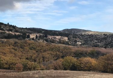
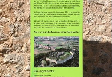
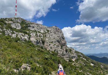
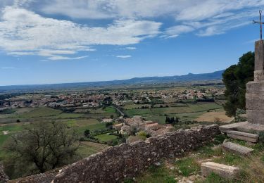
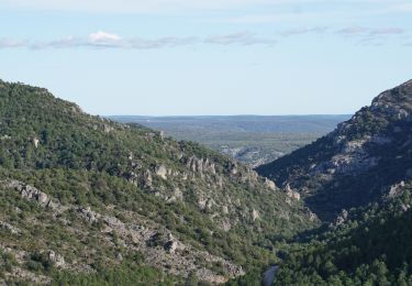
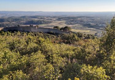
Tocht Stappen Arboras - LL34 Col du Vent - Val Durand - Photo

LL34 Col du Vent - Val Durand

 alainandrejoly
alainandrejoly

Gebruiker

© OpenStreetMap contributors
Lengte
Lengte
14,6 km
Max. hoogte
Max. hoogte
757 m
Positief hoogteverschil
517 m
Km-Effort
Km-Effort  
21 km
Min. hoogte
Min. hoogte
404 m
Negatief hoogteverschil
521 m
Boucle
Boucle
Ja
Datum van aanmaak :
2019-01-15 20:06:17.011
Laatste wijziging :
2019-01-15 20:06:17.011

(1 Bericht)

Stappen
Stappen
5h00
Moeilijkheid : Medium

Scan deze QR-code om de tocht te openen in de SityTrail-applicatie

Gratisgps-wandelapplicatie

Logo SityTrail SityTrail

IGN / Geografische instituten

SityTrail uit de App Store downloaden SityTrail uit Google Play downloaden

Logo SityTrail SityTrail World

De wereld gaat voor u open

SityTrail uit de App Store downloaden SityTrail uit Google Play downloaden SityTrail op Huawei AppGallery downloaden

Over ons

Tocht Stappen van 14,6 km beschikbaar op Occitanië, Hérault, Arboras. Deze tocht wordt voorgesteld door alainandrejoly.

Beschrijving

2018-12-23

Hoogteprofiel

Plaatsbepaling

Land:
France
Regio :
Occitanië
Departement/Provincie :
Hérault
Gemeente :
Arboras
Locatie:
Unknown
Vertrek:(Dec)
Vertrek:(UTM)
537674 ; 4841801 (31T) N.

Opmerkingen

Gelieve in te loggen om een commentaar of een beoordeling achter te laten


Joli rando mais de nombreux passages difficiles et quelques fois dangereux


Wandeltochten in de omgeving

Tocht Stappen Saint-Saturnin-de-Lucian - Le Rocher des vierges - Photo
Stappen
daniel34

Stappen

Medium
(2)
Saint-Saturnin-de-Lucian, Occitanië, Hérault, France
12,1 km | 17,4 km-effort
5h 1min
Ja
Tocht Stappen Montpeyroux - château de castelas - Photo
Stappen
mrclic34

Stappen

Gemakkelijk
(3)
Montpeyroux, Occitanië, Hérault, France
10,3 km | 15,1 km-effort
3h 12min
Ja
Tocht Stappen Montpeyroux - Saint baudille - Photo
Stappen
yt34

Stappen

Gemakkelijk
(3)
Montpeyroux, Occitanië, Hérault, France
10,2 km | 16,2 km-effort
3h 22min
Ja
Tocht Stappen Saint-Jean-de-la-Blaquière - Les Bois de Homs et de Latude - Photo
Stappen
gerardhenr

Stappen

Gemakkelijk
(1)
Saint-Jean-de-la-Blaquière, Occitanië, Hérault, France
9,3 km | 13,1 km-effort
2h 27min
Ja
Tocht Stappen Montpeyroux - Saint-Baudille  - Photo
Stappen
Raymond DAVID

Stappen

Medium
Montpeyroux, Occitanië, Hérault, France
13,8 km | 21 km-effort
4h 30min
Ja
Tocht Stappen Montpeyroux - Font du Griffe le Baudille - Photo
Stappen
daniel34

Stappen

Moeilijk
Montpeyroux, Occitanië, Hérault, France
10,8 km | 16,8 km-effort
3h 32min
Ja
Tocht Stappen Montpeyroux - Le bary Arboras le Castelas - Photo
Stappen
labarone

Stappen

Gemakkelijk
Montpeyroux, Occitanië, Hérault, France
11,8 km | 17,1 km-effort
5h 7min
Ja
Tocht Stappen Montpeyroux - 2024-02-18_02h39m01_suuntoapp-Walking-2024-02-17T10-19-40Z-route - Photo
Stappen
jeanfcd

Stappen

Moeilijk
Montpeyroux, Occitanië, Hérault, France
11,5 km | 17,5 km-effort
3h 58min
Ja
Tocht Stappen Montpeyroux - Le Castellas de Montpeyroux - Photo
Stappen
Indi34

Stappen

Medium
Montpeyroux, Occitanië, Hérault, France
6,6 km | 9,5 km-effort
2h 2min
Ja


Sluiten
Mijn abonnementen