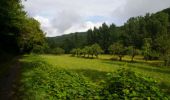

Corn - Marcilhac sur Célé - Chemin de St-Jacques de Compostelle

tracegps
Gebruiker

Lengte
24 km

Max. hoogte
337 m

Positief hoogteverschil
735 m

Km-Effort
34 km

Min. hoogte
162 m

Negatief hoogteverschil
775 m
Boucle
Neen
Datum van aanmaak :
2014-12-10 00:00:00.0
Laatste wijziging :
2014-12-10 00:00:00.0
5h00
Moeilijkheid : Zeer moeilijk

Gratisgps-wandelapplicatie
Over ons
Tocht Stappen van 24 km beschikbaar op Occitanië, Lot, Corn. Deze tocht wordt voorgesteld door tracegps.
Beschrijving
Quatorzième étape de notre Chemin de Compostelle qui nous mène de Corn à Marcilhac-sur-Célé. (Km 274,854 à Km 298,854) D’autres informations et photos sur le Chemin de Compostelle sont disponibles ICI Balade proposée par « Les Balades et Randonnées de Fred »
Plaatsbepaling
Land:
France
Regio :
Occitanië
Departement/Provincie :
Lot
Gemeente :
Corn
Locatie:
Unknown
Vertrek:(Dec)
Vertrek:(UTM)
412459 ; 4940088 (31T) N.
Opmerkingen
Wandeltochten in de omgeving
brengues-7854558


Stappen
Moeilijk
(1)
Brengues,
Occitanië,
Lot,
France

11,9 km | 16,5 km-effort
3h 45min
Ja
Corn source bleue


Stappen
Moeilijk
(1)
Corn,
Occitanië,
Lot,
France

11,7 km | 16,3 km-effort
3h 42min
Ja
Le causse par lacoste


Stappen
Heel gemakkelijk
(1)
Corn,
Occitanië,
Lot,
France

8,4 km | 11,7 km-effort
2h 38min
Ja
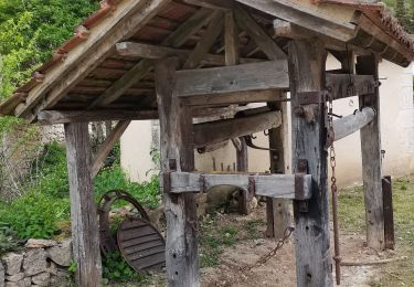
Sainte Eulalie Crayssac


Stappen
Heel gemakkelijk
Corn,
Occitanië,
Lot,
France

11,7 km | 16,6 km-effort
3h 31min
Ja
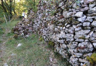
Corn Mas de Léret


Stappen
Heel gemakkelijk
Corn,
Occitanië,
Lot,
France

4,1 km | 5,8 km-effort
1h 43min
Ja
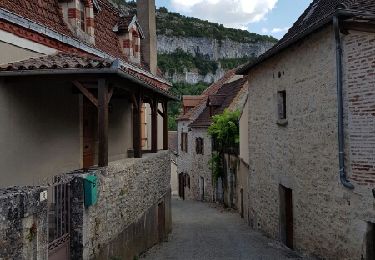
Compostelle 2: 2-Espagnac - Marcilhac


Stappen
Medium
Espagnac-Sainte-Eulalie,
Occitanië,
Lot,
France

22 km | 32 km-effort
7h 4min
Neen
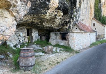
20240419 Les Ânes du Célé à ferme Cazals


sport
Heel gemakkelijk
Espagnac-Sainte-Eulalie,
Occitanië,
Lot,
France

21 km | 29 km-effort
Onbekend
Neen
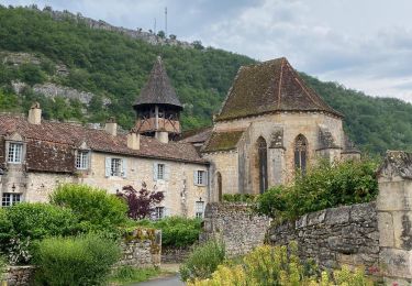
Espagnac à Grealou.


Stappen
Zeer moeilijk
Espagnac-Sainte-Eulalie,
Occitanië,
Lot,
France

24 km | 31 km-effort
7h 8min
Neen
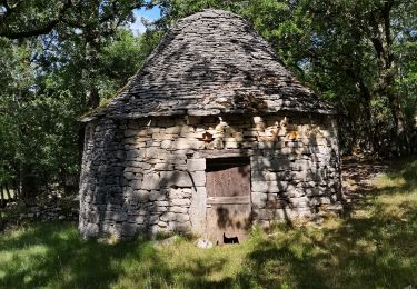
beduer crayssac


Mountainbike
Gemakkelijk
Corn,
Occitanië,
Lot,
France

15,7 km | 21 km-effort
1h 54min
Ja


 SityTrail


