


13,2 km | 16 km-effort


Gebruiker


Gratisgps-wandelapplicatie
 SityTrail
IGN / Geografische instituten
SityTrail World
De wereld gaat voor u open
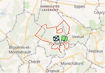
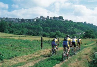
Tocht Stappen van 14,5 km beschikbaar op Hauts-de-France, Aisne, Parfondru. Deze tocht wordt voorgesteld door tracegps.
Ce territoire vous permettra d'appréhender la richesse du patrimoine naturel du Laonnois. Les landes, les bois aux ambiances submontagnardes, les prairies sèches et humides constituent autant de paysages différents où vous rencontrerez une diversité remarquable d'espèces animales et végétales. Toutes les infos sont ICI
Stappen
Stappen
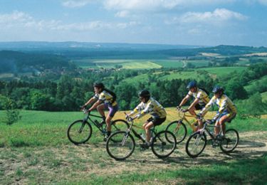
Mountainbike
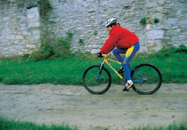
Mountainbike
Mountainbike
Mountainbike
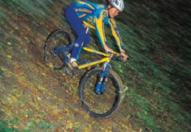
Mountainbike
Mountainbike
Stappen