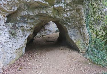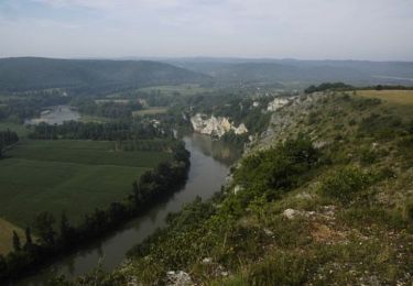

Pinsac Souillac par la Dordogne

tracegps
Gebruiker

Lengte
9,5 km

Max. hoogte
123 m

Positief hoogteverschil
127 m

Km-Effort
11,2 km

Min. hoogte
79 m

Negatief hoogteverschil
136 m
Boucle
Neen
Datum van aanmaak :
2014-12-10 00:00:00.0
Laatste wijziging :
2014-12-10 00:00:00.0
2h49
Moeilijkheid : Medium

Gratisgps-wandelapplicatie
Over ons
Tocht Andere activiteiten van 9,5 km beschikbaar op Occitanië, Lot, Pinsac. Deze tocht wordt voorgesteld door tracegps.
Beschrijving
Descente agréable sur la Dordogne. D’autres informations et photos sont disponibles ICI Balade proposée par le site « Les Balades et Randonnées de Fred »
Plaatsbepaling
Land:
France
Regio :
Occitanië
Departement/Provincie :
Lot
Gemeente :
Pinsac
Locatie:
Unknown
Vertrek:(Dec)
Vertrek:(UTM)
383458 ; 4967389 (31T) N.
Opmerkingen
Wandeltochten in de omgeving


Gouffre et résurgence du Limon - Grottes de Lacave


Te voet
Gemakkelijk
Lacave,
Occitanië,
Lot,
France

14,4 km | 19,6 km-effort
4h 26min
Ja

Saint Sozy -


Stappen
Zeer moeilijk
Saint-Sozy,
Occitanië,
Lot,
France

13,8 km | 20 km-effort
4h 15min
Ja

calés -st sauveur


Stappen
Heel gemakkelijk
(1)
Calès,
Occitanië,
Lot,
France

14,9 km | 20 km-effort
3h 19min
Ja

souillac bord de la dordogne


Stappen
Heel gemakkelijk
(2)
Souillac,
Occitanië,
Lot,
France

7,9 km | 9,8 km-effort
2h 13min
Ja

Transsouillagaise 2013 - Souillac


Mountainbike
Zeer moeilijk
Souillac,
Occitanië,
Lot,
France

39 km | 51 km-effort
3h 30min
Ja

Souillac_Pipou


Stappen
Medium
(2)
Souillac,
Occitanië,
Lot,
France

13,5 km | 18,1 km-effort
4h 15min
Ja

Rando vtt AE 2021 hirondelles


Mountainbike
Moeilijk
Pinsac,
Occitanië,
Lot,
France

29 km | 38 km-effort
1h 49min
Neen

Pont de l'Ouysse Cougnaguet


Stappen
Heel gemakkelijk
Lacave,
Occitanië,
Lot,
France

13,9 km | 16,5 km-effort
3h 32min
Ja


 SityTrail


