


6,1 km | 6,8 km-effort

Gebruiker


Gratisgps-wandelapplicatie
 SityTrail
IGN / Geografische instituten
SityTrail World
De wereld gaat voor u open
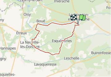
Tocht Mountainbike van 23 km beschikbaar op Hauts-de-France, Aisne, Le Nouvion-en-Thiérache. Deze tocht wordt voorgesteld door tracegps.
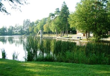
Accessible à tous, cette longue boucle à VTT traverse la forêt du Nouvion, la Queue-de-Boué, puis revient, par le beau village d'Esquéhéries, à la base de loisirs de l'Astrée. Toutes les infos sont ICI


Stappen
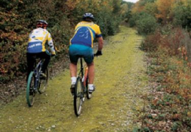
Mountainbike

Hybride fiets
Stappen
Mountainbike
Mountainbike

Stappen
Stappen
Stappen