


5,3 km | 6,2 km-effort

Gebruiker


Gratisgps-wandelapplicatie
 SityTrail
IGN / Geografische instituten
SityTrail World
De wereld gaat voor u open
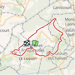
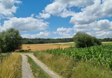
Tocht Stappen van 14,4 km beschikbaar op Hauts-de-France, Aisne, Merlieux-et-Fouquerolles. Deze tocht wordt voorgesteld door tracegps.
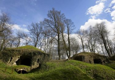
De Bourguignon (connu pour sa fête de l'art), à Merlieux (fête du livre), cette balade bucolique résume admirablement le patrimoine laonnois : les vendangeoirs et la maison natale des frères Le Nain, le château de Chailvet paré d'une façade à l'italienne et les lavoirs qui enjolivent le circuit. Toutes les infos sont ICI


Stappen
Stappen
Stappen

Stappen

Stappen
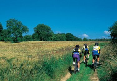
Mountainbike

Stappen
Stappen
Stappen