


5,4 km | 7,1 km-effort


Gebruiker


Gratisgps-wandelapplicatie
 SityTrail
IGN / Geografische instituten
SityTrail World
De wereld gaat voor u open
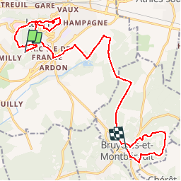
Tocht Stappen van 18,1 km beschikbaar op Hauts-de-France, Aisne, Laon. Deze tocht wordt voorgesteld door tracegps.
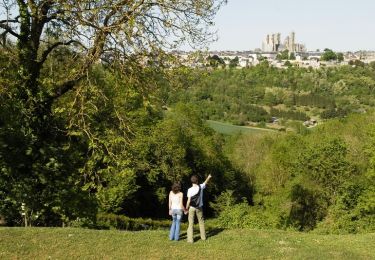
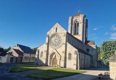
La richesse du circuit "De la montagne couronnée au Chemin des Dames" tient avant tout à la diversité des paysages traversés. Successivement, la plaine herbeuse fait place aux buttes sommées de forêts de feuillus avant que de profonds sillons, au creux desquels paresse une rivière, ne viennent entamer les reliefs. A la fois chemin de randonnée et parcours de santé, le sentier qui quitte Laon pour rejoindre le calme et la sérénité du plan d'eau de l'Ailette cumule les atouts. De la Montagne couronnée, ainsi que les pèlerins baptisèrent Laon, au dramatique Chemin des Dames, c'est à un voyage de cinq siècles à travers l'histoire que nous convie cette balade. Toutes les infos sont ICI
Stappen
Stappen

Stappen
Stappen

Stappen

Stappen

Stappen

Stappen
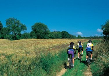
Mountainbike
très bien