


8,3 km | 9,1 km-effort

Gebruiker


Gratisgps-wandelapplicatie
 SityTrail
IGN / Geografische instituten
SityTrail World
De wereld gaat voor u open
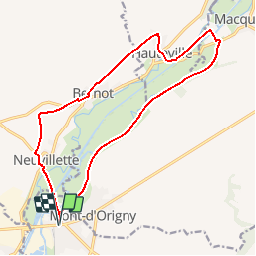
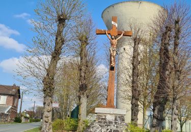
Tocht Stappen van 15,5 km beschikbaar op Hauts-de-France, Aisne, Origny-Sainte-Benoite. Deze tocht wordt voorgesteld door tracegps.
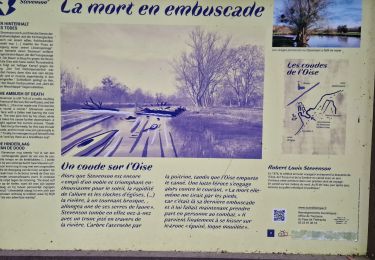
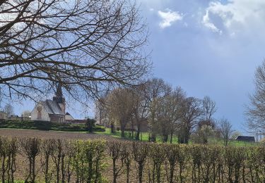
L'Oise déroule ses boucles sauvages rendues célèbres par Stevenson entre des coteaux crayeux propices aux orchidées. Le circuit permet d'apercevoir des rayères, ces anciens barrages destinés à alimenter les moulins, encore régulés par des pierres déplacées à la main, ainsi qu'un pont-canal et un pont tournant. Toutes les infos sont ICI


Stappen
Stappen
Stappen
Stappen
Stappen
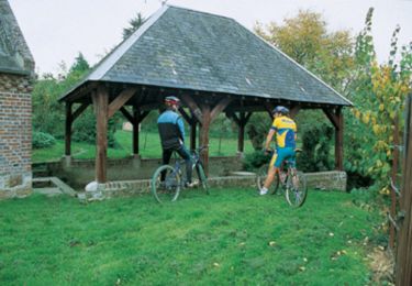
Mountainbike

Stappen
Stappen
Stappen