
Boucle du Terrefort - Sainte-Suzanne - Artigat

tracegps
Gebruiker

Lengte
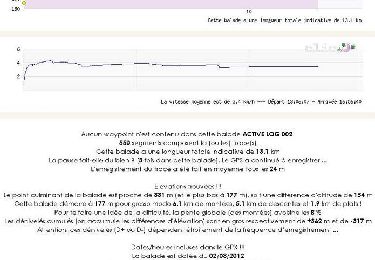
14,6 km

Max. hoogte
398 m

Positief hoogteverschil
294 m

Km-Effort
18,5 km

Min. hoogte
231 m

Negatief hoogteverschil
271 m
Boucle
Neen
Datum van aanmaak :
2014-12-10 00:00:00.0
Laatste wijziging :
2014-12-10 00:00:00.0
1h30
Moeilijkheid : Medium

Gratisgps-wandelapplicatie
Over ons
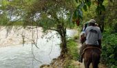
Tocht Paard van 14,6 km beschikbaar op Occitanië, Ariège, Sainte-Suzanne. Deze tocht wordt voorgesteld door tracegps.
Beschrijving
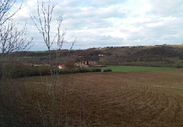
Troisième étape de la Boucle du Terrefort. D’autres infos ici . Balade proposée par le Bureau des Guides Équestres Transpyrénéens
Plaatsbepaling
Land:
France
Regio :
Occitanië
Departement/Provincie :
Ariège
Gemeente :
Sainte-Suzanne
Locatie:
Unknown
Vertrek:(Dec)
Vertrek:(UTM)
368950 ; 4785449 (31T) N.
Opmerkingen
Wandeltochten in de omgeving

Villeneuve du latou fait


Stappen
Gemakkelijk
Villeneuve-du-Latou,
Occitanië,
Ariège,
France

10,1 km | 14,3 km-effort
3h 4min
Ja

Balade à Saint Ybars


Stappen
Medium
Saint-Ybars,
Occitanië,
Ariège,
France

13,1 km | 16,7 km-effort
4h 0min
Ja

6487049-Boucle de Louise (18.08.16)


Te voet
Gemakkelijk
Gaillac-Toulza,
Occitanië,
Haute-Garonne,
France

9,4 km | 12,1 km-effort
2h 10min
Ja

Gaillac Toulza:boucle de Louise


Stappen
Gemakkelijk
Gaillac-Toulza,
Occitanië,
Haute-Garonne,
France

9,4 km | 12,1 km-effort
2h 37min
Ja

matou jp


Stappen
Moeilijk
Villeneuve-du-Latou,
Occitanië,
Ariège,
France

11,2 km | 14,6 km-effort
2h 55min
Ja

Villeneuve du latou sans boue fait 2024


Stappen
Medium
Villeneuve-du-Latou,
Occitanië,
Ariège,
France

11,3 km | 14,8 km-effort
2h 39min
Ja

latou alain


Stappen
Moeilijk
Villeneuve-du-Latou,
Occitanië,
Ariège,
France

11,3 km | 14,7 km-effort
2h 28min
Ja

2024-09-12_12h46m20_VilleneuveDuLatou-SB11-OR1


sport
Heel gemakkelijk
Villeneuve-du-Latou,
Occitanië,
Ariège,
France

11 km | 14,4 km-effort
Onbekend
Ja

Saint Ybars fait 2023


Stappen
Gemakkelijk
Saint-Ybars,
Occitanië,
Ariège,
France

7,8 km | 10,2 km-effort
2h 1min
Ja


 SityTrail


