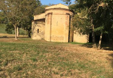
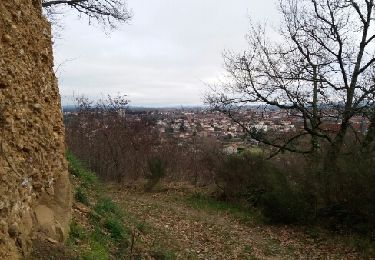
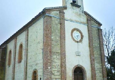
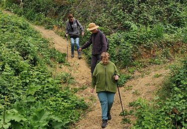
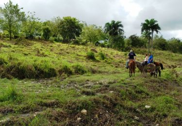
Tocht Paard Escosse - Boucle du Terrefort - Escosse - Saverdun - Photo

Boucle du Terrefort - Escosse - Saverdun

 tracegps
tracegps

Gebruiker

© OpenStreetMap contributors
Lengte
Lengte
19,6 km
Max. hoogte
Max. hoogte
404 m
Positief hoogteverschil
370 m
Km-Effort
Km-Effort  
25 km
Min. hoogte
Min. hoogte
234 m
Negatief hoogteverschil
421 m
Boucle
Boucle
Neen
Datum van aanmaak :
2014-12-10 00:00:00.0
Laatste wijziging :
2014-12-10 00:00:00.0

(0 Bericht)

Paard
Paard
2h30
Moeilijkheid : Medium

Scan deze QR-code om de tocht te openen in de SityTrail-applicatie

Gratisgps-wandelapplicatie

Logo SityTrail SityTrail

IGN / Geografische instituten

SityTrail uit de App Store downloaden SityTrail uit Google Play downloaden

Logo SityTrail SityTrail World

De wereld gaat voor u open

SityTrail uit de App Store downloaden SityTrail uit Google Play downloaden SityTrail op Huawei AppGallery downloaden

Over ons

Tocht Paard van 19,6 km beschikbaar op Occitanië, Ariège, Escosse. Deze tocht wordt voorgesteld door tracegps.

Beschrijving

Première étape de la Boucle du Terrefort. D’autres infos ici . Balade proposée par le Bureau des Guides Équestres Transpyrénéens

Hoogteprofiel

Foto's

Plaatsbepaling

Land:
France
Regio :
Occitanië
Departement/Provincie :
Ariège
Gemeente :
Escosse
Locatie:
Unknown
Vertrek:(Dec)
Vertrek:(UTM)
381970 ; 4775644 (31T) N.

Wandeltochten in de omgeving

Tocht Stappen Pamiers - Les Coteaux de Pamiers  - Photo
Stappen
richardsimopons

Stappen

Pamiers, Occitanië, Ariège, France
9,8 km | 13,2 km-effort
3h 19min
Ja
Tocht Stappen Pamiers - Pamiers ch.Crambolie fait - Photo
Stappen
pidjam

Stappen

Gemakkelijk
Pamiers, Occitanië, Ariège, France
8,3 km | 10,8 km-effort
1h 55min
Ja
Tocht Stappen Bonnac - Bonnac boucle 2 - Photo
Stappen
pidjam

Stappen

Gemakkelijk
Bonnac, Occitanië, Ariège, France
8,3 km | 11,2 km-effort
2h 25min
Ja
Tocht Stappen Saint-Michel - Sentier de découverte du Terrefort - Saint-Michel - Photo
Stappen
tracegps

Stappen

Gemakkelijk
(3)
Saint-Michel, Occitanië, Ariège, France
5,7 km | 7,3 km-effort
1h 30min
Ja
Tocht Stappen Pamiers - JPMPA - Photo
Stappen
ClubAgeHeureux

Stappen

Moeilijk
Pamiers, Occitanië, Ariège, France
9,4 km | 12,7 km-effort
2h 59min
Ja
Tocht Paard Pamiers - Chemin de St Jacques - Pamiers - Montaigut Plantaurel - Photo
Paard
tracegps

Paard

Moeilijk
Pamiers, Occitanië, Ariège, France
15,8 km | 22 km-effort
1h 19min
Neen
Tocht Paard Pamiers - Pamiers - Dalou - Photo
Paard
tracegps

Paard

Moeilijk
Pamiers, Occitanië, Ariège, France
53 km | 74 km-effort
6h 0min
Neen
Tocht Jacht Saint-Michel - St Michel Becasses - Photo
Jacht
David Girabet

Jacht

Saint-Michel, Occitanië, Ariège, France
3,5 km | 4,7 km-effort
1h 53min
Neen
Tocht Stappen Saint-Victor-Rouzaud - GR78 - Etape 5bis Saint Victor Rouzaud - Caoué de coume - Photo
Stappen
patoche2009

Stappen

Medium
Saint-Victor-Rouzaud, Occitanië, Ariège, France
37 km | 51 km-effort
10h 36min
Neen


Sluiten
Mijn abonnementen