


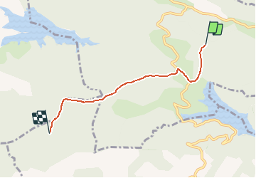

4,4 km | 5,7 km-effort

Gebruiker


Gratisgps-wandelapplicatie
 SityTrail
IGN / Geografische instituten
SityTrail World
De wereld gaat voor u open
Tocht Paard van 4,6 km beschikbaar op Occitanië, Ariège, Gabre. Deze tocht wordt voorgesteld door tracegps.
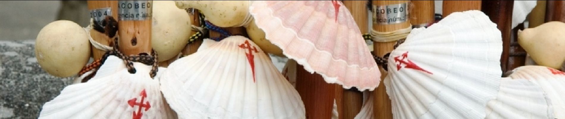
Cinquième étape des Chemins de St Jacques. D’autres infos sur Les Chemins de Saint-Jacques de Compostelle . Balade proposée par le Bureau des Guides Équestres Transpyrénéens


Te voet
Stappen

Paard

Paard
Stappen

Stappen
Stappen
Stappen
Stappen