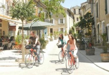
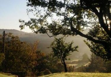
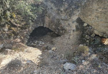
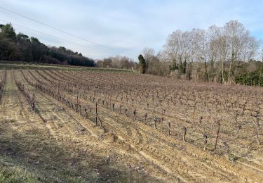
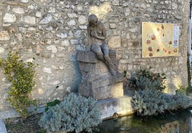
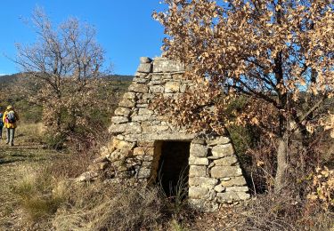
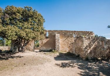
Tocht Stappen Grambois - Randonnée à Grambois - Photo
 tracegps
tracegps

Gebruiker

© OpenStreetMap contributors
Lengte
Lengte
10,9 km
Max. hoogte
Max. hoogte
571 m
Positief hoogteverschil
337 m
Km-Effort
Km-Effort  
15,4 km
Min. hoogte
Min. hoogte
346 m
Negatief hoogteverschil
338 m
Boucle
Boucle
Ja
Datum van aanmaak :
2014-12-10 00:00:00.0
Laatste wijziging :
2014-12-10 00:00:00.0

(0 Bericht)

Stappen
Stappen
4h49
Moeilijkheid : Medium

Scan deze QR-code om de tocht te openen in de SityTrail-applicatie

Gratisgps-wandelapplicatie

Logo SityTrail SityTrail

IGN / Geografische instituten

SityTrail uit de App Store downloaden SityTrail uit Google Play downloaden

Logo SityTrail SityTrail World

De wereld gaat voor u open

SityTrail uit de App Store downloaden SityTrail uit Google Play downloaden SityTrail op Huawei AppGallery downloaden

Over ons

Tocht Stappen van 10,9 km beschikbaar op Provence-Alpes-Côte d'Azur, Vaucluse, Grambois. Deze tocht wordt voorgesteld door tracegps.

Beschrijving

La première partie est une randonnée entre Grambois et La Tour avec de très jolis paysages, des vues sur le village. La seconde partie permet de découvrir une source réaménagée en contrebas du village. Grambois, « village fleuri » est une commune située à l'est du Parc naturel régional du Luberon, accrochée à un coteau escarpé dominant la vallée de l'Èze. Ses ruelles en « calade » et sa fontaine centrale, typiquement provençale, apparaissent dans le 'film La Gloire de mon père (1990)' tiré du célèbre roman éponyme de Marcel Pagnol.

Hoogteprofiel

Foto's

POI's

POI Grambois - Départ-Arrivée - Photo
tracegps
POI Grambois - Fontaine - Photo
tracegps
GRAMBOIS 
POI Grambois - Pause Repas - Photo
tracegps
GRAMBOIS 

Plaatsbepaling

Land:
France
Regio :
Provence-Alpes-Côte d'Azur
Departement/Provincie :
Vaucluse
Gemeente :
Grambois
Locatie:
Unknown
Vertrek:(Dec)
Vertrek:(UTM)
708453 ; 4848739 (31T) N.

Wandeltochten in de omgeving

Tocht Fiets La Tour-d'Aigues - Le Pays d'Aigues à vélo - Photo
Fiets
GUIDE+

Fiets

Medium
(2)
La Tour-d'Aigues, Provence-Alpes-Côte d'Azur, Vaucluse, France
86 km | 102 km-effort
5h 49min
Ja
Tocht Fiets La Bastide-des-Jourdans - Parcours n°21 - La Bastide-des-Jourdans - Photo
Fiets
GUIDE+

Fiets

Medium
(2)
La Bastide-des-Jourdans, Provence-Alpes-Côte d'Azur, Vaucluse, France
40 km | 49 km-effort
2h 49min
Ja
Tocht Stappen Grambois - 2024-10-01 Grambois et les ruines des templiers  - Photo
Stappen
GUIDE
Kargil

Stappen

Moeilijk
Grambois, Provence-Alpes-Côte d'Azur, Vaucluse, France
12 km | 16 km-effort
3h 38min
Ja
Tocht Stappen Peypin-d'Aigues - peypin d'aygues - Photo
Stappen
denizot

Stappen

Gemakkelijk
(1)
Peypin-d'Aigues, Provence-Alpes-Côte d'Azur, Vaucluse, France
11,6 km | 16,9 km-effort
3h 34min
Ja
Tocht Stappen La Bastide-des-Jourdans - Les Collets du Luberon Est - Photo
Stappen
ALAPETITE

Stappen

Medium
(1)
La Bastide-des-Jourdans, Provence-Alpes-Côte d'Azur, Vaucluse, France
17,9 km | 26 km-effort
5h 50min
Ja
Tocht Stappen La Tour-d'Aigues - PF-La Tour d'Aigues - La Bastidonne - La Chapelle St Julien - Photo
Stappen
MicDul

Stappen

Medium
La Tour-d'Aigues, Provence-Alpes-Côte d'Azur, Vaucluse, France
14,7 km | 18,8 km-effort
4h 45min
Ja
Tocht Stappen Peypin-d'Aigues - Peypin-d’Aigues d’Aigues les Dones nord - Photo
Stappen
Dadou 1

Stappen

Medium
Peypin-d'Aigues, Provence-Alpes-Côte d'Azur, Vaucluse, France
7,3 km | 11,5 km-effort
2h 41min
Ja
Tocht Stappen La Bastide-des-Jourdans - la bastide des jourdan.  - Photo
Stappen
Roger

Stappen

Medium
La Bastide-des-Jourdans, Provence-Alpes-Côte d'Azur, Vaucluse, France
9,4 km | 13,5 km-effort
2h 55min
Ja
Tocht Stappen Grambois - La Pourraque Beaumont de Pertuis 84 - Photo
Stappen
Dadou 1

Stappen

Gemakkelijk
Grambois, Provence-Alpes-Côte d'Azur, Vaucluse, France
8,1 km | 10,6 km-effort
2h 34min
Ja


Sluiten
Mijn abonnementen