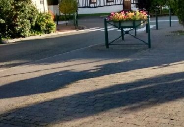
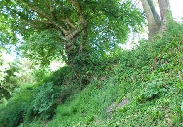
Tocht Mountainbike Gamaches - Les forêts Gamachoises - Photo

Les forêts Gamachoises

 tracegps
tracegps

Gebruiker

© OpenStreetMap contributors
Lengte
Lengte
32 km
Max. hoogte
Max. hoogte
169 m
Positief hoogteverschil
545 m
Km-Effort
Km-Effort  
39 km
Min. hoogte
Min. hoogte
18 m
Negatief hoogteverschil
545 m
Boucle
Boucle
Ja
Datum van aanmaak :
2014-12-10 00:00:00.0
Laatste wijziging :
2014-12-10 00:00:00.0

(1 Bericht)

Mountainbike
Mountainbike
2h30
Moeilijkheid : Medium

Scan deze QR-code om de tocht te openen in de SityTrail-applicatie

Gratisgps-wandelapplicatie

Logo SityTrail SityTrail

IGN / Geografische instituten

SityTrail uit de App Store downloaden SityTrail uit Google Play downloaden

Logo SityTrail SityTrail World

De wereld gaat voor u open

SityTrail uit de App Store downloaden SityTrail uit Google Play downloaden SityTrail op Huawei AppGallery downloaden

Over ons

Tocht Mountainbike van 32 km beschikbaar op Hauts-de-France, Somme, Gamaches. Deze tocht wordt voorgesteld door tracegps.

Beschrijving

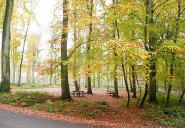
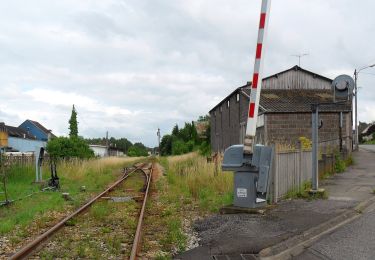
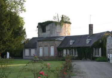
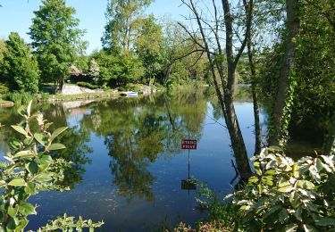
Au départ du parking de la mairie de Gamaches, partez vers la forêt de Bouillancourt en Serry via le GRP.Puis avoir traversé le domaine du château d'Ansennes vous repartirez sur l'autre rive de la Bresle vers la forêt domaniale de Eu pour rejoindre à nouveau la vallée. De là, vous suivrez les sentiers des étangs de Gamaches jusqu'au point de départ de cette sortie relativement "boisée" au dénivelé non négligeable.

Hoogteprofiel

Plaatsbepaling

Land:
France
Regio :
Hauts-de-France
Departement/Provincie :
Somme
Gemeente :
Gamaches
Locatie:
Unknown
Vertrek:(Dec)
Vertrek:(UTM)
396821 ; 5538016 (31U) N.

Opmerkingen

Gelieve in te loggen om een commentaar of een beoordeling achter te laten


ussel


Wandeltochten in de omgeving

Tocht Stappen Incheville - Balade dans le Massif du Triage - Forêt d'Eu - Photo
Stappen
tracegps

Stappen

Medium
(3)
Incheville, Normandië, Seine-Maritime, France
13,2 km | 16,8 km-effort
2h 45min
Ja
Tocht Te voet Gamaches - L'eau vive - Photo
Te voet
GUIDE+

Te voet

Gemakkelijk
Gamaches, Hauts-de-France, Somme, France
4,8 km | 5,3 km-effort
1h 11min
Ja
Tocht Te voet Gamaches - Au fil des Étangs - Photo
Te voet
GUIDE+

Te voet

Gemakkelijk
Gamaches, Hauts-de-France, Somme, France
3,1 km | 3,3 km-effort
45min
Neen
Tocht Stappen Incheville - incheville 20190513 les étangs  - Photo
Stappen
philippe76

Stappen

Heel gemakkelijk
(1)
Incheville, Normandië, Seine-Maritime, France
8,1 km | 9,3 km-effort
2h 6min
Ja
Tocht Stappen Bazinval - Circuit du Mont Madame (n° 4) - Bazinval - Photo
Stappen
Brindille

Stappen

Medium
Bazinval, Normandië, Seine-Maritime, France
12,4 km | 15,8 km-effort
3h 10min
Ja
Tocht Stappen Longroy - longroy - Photo
Stappen
Brindille

Stappen

Gemakkelijk
Longroy, Normandië, Seine-Maritime, France
10,3 km | 12,7 km-effort
2h 38min
Neen
Tocht Paard Monchaux-Soreng - Circuit du Mont Rôti (N° 16) - Monchaux-Soreng - Photo
Paard
tracegps

Paard

Medium
Monchaux-Soreng, Normandië, Seine-Maritime, France
10,4 km | 13,6 km-effort
1h 40min
Ja
Tocht Mountainbike Monchaux-Soreng - Circuit du Mont Rôti (N° 16) - Monchaux-Soreng - Photo
Mountainbike
tracegps

Mountainbike

Gemakkelijk
Monchaux-Soreng, Normandië, Seine-Maritime, France
10,4 km | 13,6 km-effort
45min
Ja
Tocht Stappen Monchaux-Soreng - Circuit du Mont Rôti (N° 16) - Monchaux-Soreng - Photo
Stappen
tracegps

Stappen

Medium
Monchaux-Soreng, Normandië, Seine-Maritime, France
10,4 km | 13,6 km-effort
2h 40min
Ja


Sluiten
Mijn abonnementen