

VTT au sud de Saint Lô

tracegps
Gebruiker

Lengte
45 km

Max. hoogte
173 m

Positief hoogteverschil
780 m

Km-Effort
55 km

Min. hoogte
15 m

Negatief hoogteverschil
779 m
Boucle
Ja
Datum van aanmaak :
2014-12-10 00:00:00.0
Laatste wijziging :
2014-12-10 00:00:00.0
3h30
Moeilijkheid : Moeilijk

Gratisgps-wandelapplicatie
Over ons
Tocht Mountainbike van 45 km beschikbaar op Normandië, Manche, Saint-Lô. Deze tocht wordt voorgesteld door tracegps.
Beschrijving
Circuit fait de chemins bocagers vallonnés. Pas de grosse difficulté hormis la montée dans les roches du Ham, quasi impossible les fesses sur la selle, mais cet effort est récompensé par le point de vue exceptionnel arrivé en haut !
Plaatsbepaling
Land:
France
Regio :
Normandië
Departement/Provincie :
Manche
Gemeente :
Saint-Lô
Locatie:
Unknown
Vertrek:(Dec)
Vertrek:(UTM)
639340 ; 5440355 (30U) N.
Opmerkingen
Wandeltochten in de omgeving

L'Agnelaise 2014 - Agneaux


Mountainbike
Moeilijk
Agneaux,
Normandië,
Manche,
France

44 km | 52 km-effort
3h 0min
Ja
Saint-Lô - La Vire et le Falaise


Stappen
Gemakkelijk
Saint-Lô,
Normandië,
Manche,
France

5,4 km | 6,6 km-effort
1h 20min
Ja

BALLADE 2 JUIN


Stappen
Heel gemakkelijk
Saint-Lô,
Normandië,
Manche,
France

3,1 km | 3,7 km-effort
51min
Ja
Ballade 2 juin 2020


Stappen
Heel gemakkelijk
Saint-Lô,
Normandië,
Manche,
France

3,6 km | 4,2 km-effort
1h 2min
Ja

Le Hutrel 27 ai 2020


Stappen
Heel gemakkelijk
Saint-Lô,
Normandië,
Manche,
France

2,3 km | 2,9 km-effort
48min
Ja
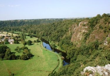
La vallée de la Vire : 3 boucles pour cavaliers


Paard
Moeilijk
Bourgvallées,
Normandië,
Manche,
France

44 km | 53 km-effort
9h 0min
Ja
Au pied des remparts de Saint-Lô


Mountainbike
Medium
Saint-Lô,
Normandië,
Manche,
France

18,2 km | 23 km-effort
2h 0min
Ja
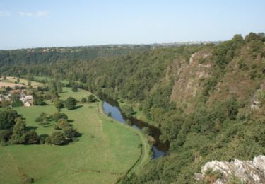
Les Roches du Ham - Saint Lo


Mountainbike
Moeilijk
Saint-Lô,
Normandië,
Manche,
France

31 km | 37 km-effort
2h 0min
Ja


 SityTrail


