


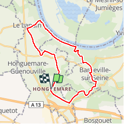

12,5 km | 15,3 km-effort

Gebruiker


Gratisgps-wandelapplicatie
 SityTrail
IGN / Geografische instituten
SityTrail World
De wereld gaat voor u open
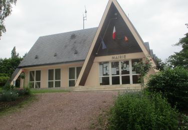
Tocht Stappen van 14,2 km beschikbaar op Normandië, Eure, Honguemare-Guenouville. Deze tocht wordt voorgesteld door tracegps.
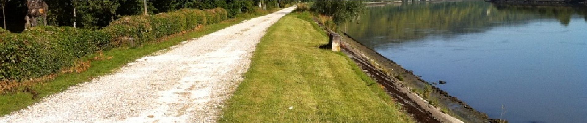
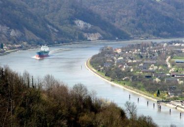
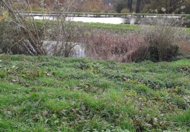
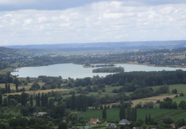
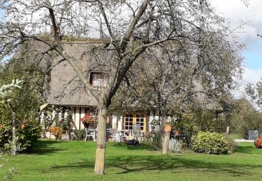
Balade sur une partie privée du chemin de halage en bord de Seine. Protégés par la falaise et la Seine, par une voie privée et sans issue, les habitants vivent là comme sur une île, dans leurs jolies petites maisons normandes. Les photos sont sur Balades en Normandie.


Stappen
Paard
Stappen

Stappen
Stappen
Stappen
Stappen

Stappen
Stappen
rando sympa mais beaucoup de route