Tocht Stappen Castillon-de-Larboust - Lac  Vert - Vallée du Lys - Bagnères de Luchon - Photo

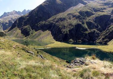
Lac Vert - Vallée du Lys - Bagnères de Luchon

 tracegps
tracegps

Gebruiker

© OpenStreetMap contributors
Lengte
Lengte
10,7 km
Max. hoogte
Max. hoogte
2052 m
Positief hoogteverschil
944 m
Km-Effort
Km-Effort  
22 km
Min. hoogte
Min. hoogte
1145 m
Negatief hoogteverschil
595 m
Boucle
Boucle
Neen
Datum van aanmaak :
2014-12-10 00:00:00.0
Laatste wijziging :
2014-12-10 00:00:00.0

(0 Bericht)

Stappen
Stappen
7h00
Moeilijkheid : Medium

Scan deze QR-code om de tocht te openen in de SityTrail-applicatie

Gratisgps-wandelapplicatie

Logo SityTrail SityTrail

IGN / Geografische instituten

SityTrail uit de App Store downloaden SityTrail uit Google Play downloaden

Logo SityTrail SityTrail World

De wereld gaat voor u open

SityTrail uit de App Store downloaden SityTrail uit Google Play downloaden SityTrail op Huawei AppGallery downloaden

Over ons

Tocht Stappen van 10,7 km beschikbaar op Occitanië, Haute-Garonne, Castillon-de-Larboust. Deze tocht wordt voorgesteld door tracegps.

Beschrijving

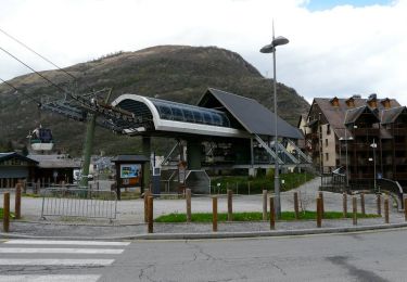
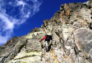
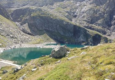
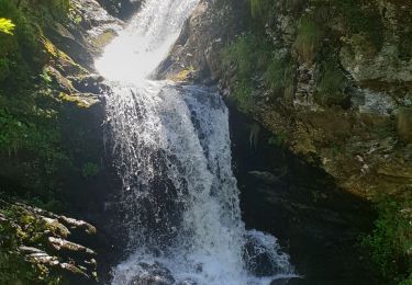
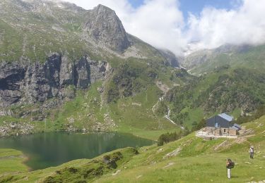
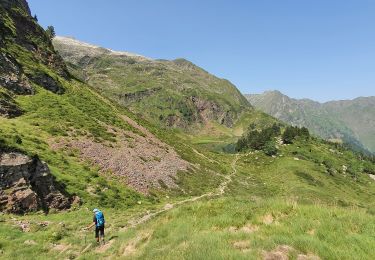
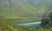
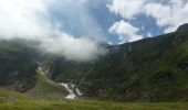
Randonnée en Haute Garonne. De Bagnères de Luchon, prendre la direction Superbagnères puis dans un virage prendre vallée du Lis ou Lys D46. Au bout de cette route un cul de sac, passer sur pont à gauche, se garer, début de la balade. Randonnée accessible à tous, faite le 10 juillet, des fleurs partout, des cascades, encore quelques névés, à éviter par temps de pluie.

Hoogteprofiel

Foto's

Plaatsbepaling

Land:
France
Regio :
Occitanië
Departement/Provincie :
Haute-Garonne
Gemeente :
Castillon-de-Larboust
Locatie:
Unknown
Vertrek:(Dec)
Vertrek:(UTM)
299974 ; 4734266 (31T) N.

Wandeltochten in de omgeving

Tocht Mountainbike Saint-Aventin - Luchon Kbour - Photo
Mountainbike
tracegps

Mountainbike

Zeer moeilijk
(1)
Saint-Aventin, Occitanië, Haute-Garonne, France
11 km | 16,7 km-effort
1h 0min
Neen
Tocht Stappen Oô - Pic des Spijeoles - Photo
Stappen
tracegps

Stappen

Zeer moeilijk
(1)
Oô, Occitanië, Haute-Garonne, France
17,4 km | 37 km-effort
14h 0min
Neen
Tocht Stappen Oô - LUCHON Lac D Oo G3
Stappen
GUIDE
marmotte65

Stappen

Medium
Oô, Occitanië, Haute-Garonne, France
6,9 km | 12 km-effort
2h 43min
Ja
Tocht Te voet Castillon-de-Larboust - Lac Vert, Boucle par l'Est - Photo
Te voet
GUIDE+

Te voet

Gemakkelijk
Castillon-de-Larboust, Occitanië, Haute-Garonne, France
8,8 km | 19,5 km-effort
4h 26min
Neen
Tocht Stappen Oô - Seil de la Baque - Photo
Stappen
ach31

Stappen

Moeilijk
(1)
Oô, Occitanië, Haute-Garonne, France
28 km | 56 km-effort
11h 9min
Ja
Tocht Stappen Castillon-de-Larboust - lac Charles, lac bleu, lac vert vallée du Lys  - Photo
Stappen
GUIDE
lhomme.ph

Stappen

Moeilijk
Castillon-de-Larboust, Occitanië, Haute-Garonne, France
15,1 km | 32 km-effort
11h 17min
Ja
Tocht Stappen Castillon-de-Larboust - Cabane de la Coume - Photo
Stappen
swp648

Stappen

Moeilijk
Castillon-de-Larboust, Occitanië, Haute-Garonne, France
9,1 km | 18,4 km-effort
3h 39min
Ja
Tocht Stappen Oô - Refuge d'Espingo par le lac d'Oô - Photo
Stappen
swp648

Stappen

Moeilijk
Oô, Occitanië, Haute-Garonne, France
6,2 km | 14,6 km-effort
2h 37min
Neen
Tocht Stappen Castillon-de-Larboust - lacs vert et bleu en boucle - Photo
Stappen
chrisgps

Stappen

Moeilijk
Castillon-de-Larboust, Occitanië, Haute-Garonne, France
15,2 km | 32 km-effort
9h 17min
Ja


Sluiten
Mijn abonnementen