


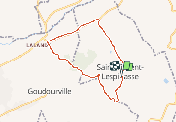

9,4 km | 12,2 km-effort


Gebruiker


Gratisgps-wandelapplicatie
 SityTrail
IGN / Geografische instituten
SityTrail World
De wereld gaat voor u open
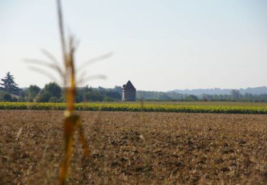
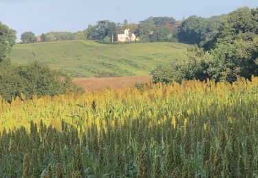
Tocht Mountainbike van 7,5 km beschikbaar op Occitanië, Tarn-et-Garonne, Saint-Vincent-Lespinasse. Deze tocht wordt voorgesteld door tracegps.
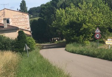
Partir de la place du village qui regroupe la mairie, l'église, l'école et la halle. Prendre la rue entre la mairie et la halle (vers l'est). A 30m s'engager sur la route de gauche, puis 100m plus loin continuer tout droit en laissant la route de gauche.

sport
sport
sport
sport
sport
sport
Mountainbike
Stappen
sport