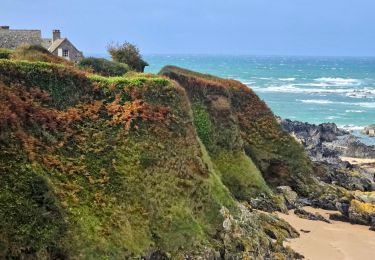
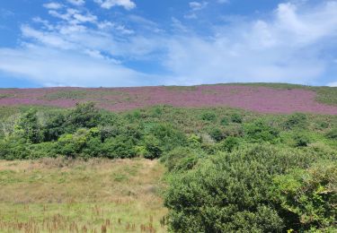
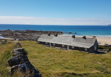
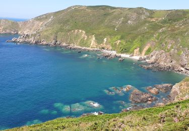
Tocht Mountainbike La Hague - Les sentiers de la Hague 2011 - 25 kms - Photo

Les sentiers de la Hague 2011 - 25 kms

 tracegps
tracegps

Gebruiker

© OpenStreetMap contributors
Lengte
Lengte
26 km
Max. hoogte
Max. hoogte
180 m
Positief hoogteverschil
449 m
Km-Effort
Km-Effort  
32 km
Min. hoogte
Min. hoogte
3 m
Negatief hoogteverschil
451 m
Boucle
Boucle
Ja
Datum van aanmaak :
2014-12-10 00:00:00.0
Laatste wijziging :
2014-12-10 00:00:00.0

(0 Bericht)

Mountainbike
Mountainbike
1h30
Moeilijkheid : Gemakkelijk

Scan deze QR-code om de tocht te openen in de SityTrail-applicatie

Gratisgps-wandelapplicatie

Logo SityTrail SityTrail

IGN / Geografische instituten

SityTrail uit de App Store downloaden SityTrail uit Google Play downloaden

Logo SityTrail SityTrail World

De wereld gaat voor u open

SityTrail uit de App Store downloaden SityTrail uit Google Play downloaden SityTrail op Huawei AppGallery downloaden

Over ons

Tocht Mountainbike van 26 km beschikbaar op Normandië, Manche, La Hague. Deze tocht wordt voorgesteld door tracegps.

Beschrijving

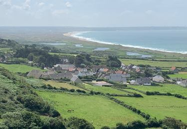
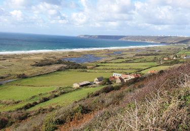
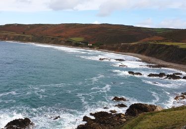
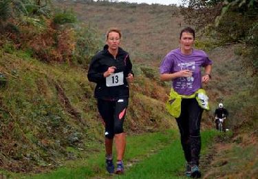
Parcours concocté par la joyeuse équipe des Haguards qui vous fera découvrir de somptueux paysages de bord de mer. Cette boucle est très adaptée pour les randonneurs débutants désirant découvrir la région, elle traverse des landes, des chemins un peu boueux, des bois. Dédicace à toutes les personnes ayant contribué à cette édition 2011 sans qui ce rendez-vous incontournable du nord cotentin ne serait possible. LES HAGUARDS vous donnent rendez-vous tous les dimanches si, comme nous, vous appréciez les randos dans une ambiance conviviale. LES HAGUARDS ne sont pas sectaires et apprécient aussi de pratiquer d'autres activités sportives tel que les raids multisports, trails, triathlons etc..... Et ils n'hésitent pas à se déplacer ensembles sur des évènements incontournables comme la GAMELLE TROPHY, LA JEAN RACINE, LES SENTIERS DE LA HAGUE etc.... Pour plus d'info: LESHAGUARDS.FR - facebook : VTT LES HAGUARDS.

Hoogteprofiel

Foto's

Plaatsbepaling

Land:
France
Regio :
Normandië
Departement/Provincie :
Manche
Gemeente :
La Hague
Locatie:
Vauville
Vertrek:(Dec)
Vertrek:(UTM)
584557 ; 5497539 (30U) N.

Wandeltochten in de omgeving

Tocht Stappen La Hague - Séjour Cotentin Etape 4 Biville - Les Pieux - Photo
Stappen
GUIDE
chessyca

Stappen

Moeilijk
La Hague, Normandië, Manche, France
29 km | 35 km-effort
6h 55min
Neen
Tocht Stappen La Hague - ioupi biville 01 - Photo
Stappen
black2boy

Stappen

Gemakkelijk
(1)
La Hague, Normandië, Manche, France
9,5 km | 11,3 km-effort
2h 11min
Ja
Tocht Stappen La Hague - Vauville - Photo
Stappen
PatRando

Stappen

Gemakkelijk
La Hague, Normandië, Manche, France
7 km | 8 km-effort
1h 48min
Ja
Tocht Stappen Héauville - Béquille - blockhaus-plage Dielette port et retour - Photo
Stappen
FOUBERT

Stappen

Gemakkelijk
Héauville, Normandië, Manche, France
11,8 km | 13,5 km-effort
3h 10min
Neen
Tocht Stappen La Hague - Vauville - Côte Soufflée A/R  - Photo
Stappen
PascalN

Stappen

Zeer moeilijk
La Hague, Normandië, Manche, France
22 km | 33 km-effort
4h 32min
Ja
Tocht Stappen La Hague - Gag - Photo
Stappen
adamfv

Stappen

Medium
La Hague, Normandië, Manche, France
5,4 km | 8,4 km-effort
1h 46min
Neen
Tocht Stappen La Hague - Vauville,  dunes de Biville Héauville - Photo
Stappen
PascalN

Stappen

Gemakkelijk
La Hague, Normandië, Manche, France
21 km | 25 km-effort
4h 13min
Ja
Tocht Stappen La Hague - Herquemoulin-Cap de la Hague  - Photo
Stappen
PascalN

Stappen

Moeilijk
La Hague, Normandië, Manche, France
16,9 km | 26 km-effort
4h 9min
Ja
Tocht Lopen La Hague - Run and Bike Haguard 2013 - Sainte Croix Hague - Photo
Lopen
tracegps

Lopen

Moeilijk
La Hague, Normandië, Manche, France
21 km | 27 km-effort
2h 30min
Ja


Sluiten
Mijn abonnementen